Port Said geodata
Port Said is a seat of a first-order administrative division; located in Egypt in Africa/Cairo (GMT+2) time zone. With population of 538,378 people, there are 3 cities with bigger population in this country. Compared to other cities in Egypt, 93.5% of cities are located further ↓South; 80.4% of cities are located further ←West and 92.8% of cities have higher elevation than Port Said. Note1


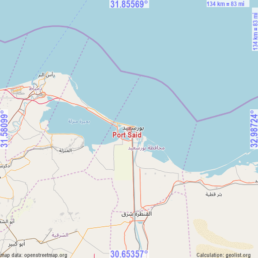
Port Said GPS coordinates[2]
31° 15' 23.544" North, 32° 17' 2.796" East
| Map corner | latitude | longitude |
|---|---|---|
| Upper-left | 31.85569°, | 31.58099° |
| Center: | 31.25654°, | 32.28411° |
| Lower-right: | 30.65357°, | 32.98724° |
| Map W x H: | 133.7×133.7 km | = 83.1×83.1mi |
| max Lat: | 31.5084° ⇑6.5% North |
| Port Said: | 31.25654° |
| min Lat: | ⇓93.5% South 22.3457° |
| min Long | Port Said | max Long |
| 25.51965° | 32.28411° | 34.89572° |
| W 80.4%⇐ | ⇒19.6% E |
Elevation
Elevation of Port Said is 6 m = 20 ft, and this is 37.5 m = 123 ft below average elevation for this country.
| Max E: |
1565 m = 5135 ft | 92.8% |
| Avg. | 43.5 m = 143 ft | |
| Port Said | 6 m = 20 ft | |
Min E: |
-15 m = -49 ft | 7.2% |
See also: Port Said elevation on elevation.city.
Geographical zone
Port Said is located in North temperate zone (between Tropic of Cancer and the Arctic Circle). Distance of this Northern Tropic circle is 869.5 km =540.3 mi to South.| Distance of | km | miles | from Port Said |
|---|---|---|---|
| North Pole | 6531.7 | 4058.6 | to North |
| Arctic Circle | 3925.8 | 2439.4 | to North |
| Tropic Cancer | 869.5 | 540.3 | to South |
| Equator | 3475.4 | 2159.5 | to South |


Nearby cities:
15 places around Port Said: (largest is in red/bold)
• Abū Kabīr
83.1 km =51.6 mi,  224°
224°
• Al Jammālīyah
40.7 km =25.3 mi,  258°
258°
• Al Manzalah
34.9 km =21.7 mi,  251°
251°
• Al Maţarīyah
25.4 km =15.8 mi, 251°
• Az Zarqā
61.9 km =38.5 mi,  265°
265°
• Bi’r al ‘Abd
73.9 km =45.9 mi,  110°
110°
• Damietta
48.1 km =29.9 mi,  291°
291°
• Dikirnis
68.2 km =42.4 mi, 254°
• Fāqūs
74.9 km =46.5 mi, 218°
• Fāraskūr
54.7 km =34 mi,  278°
278°
• Ismailia
72.5 km =45 mi,  180°
180°
• Kafr Şaqr
81.2 km =50.5 mi,  230°
230°
• Minyat an Naşr
62.7 km =39 mi, 256°
• Shirbīn
72.5 km =45 mi, 264°
• ‘Izbat al Burj
50.5 km =31.4 mi,  303°
303°
In other languages:
- In Spanish: Puerto Saíd
- In France: Port-Saïd
- In Russian: Порт-Саид
- In Chinese: 塞德港
Sources, notices
• [Note1] Compared only with cities in Egypt existing in our database
• [Src1] Map data: © OpenStreetMap contributors (CC-BY-SA)
• [Src2] Other city data from geonames.org with taken over terms of usage.
• [Src3] Geographical zone / Annual Mean Temperature by Robert A. Rohde @ Wikipedia
