Montiel geodata
Montiel (Castille-La Mancha) is a seat of a third-order administrative division; located in Spain in Europe/Madrid (GMT+2) time zone. With population of 1,688 people, there are 2347 cities with bigger population in this country. Compared to other cities in Spain, 84.3% of cities are located further ↑North; 56.5% of cities are located further ←West and 79.7% of cities have lower elevation than Montiel. Note1
Administrative division(s):
- Level 1: Castille-La Mancha
- Level 2: Provincia de Ciudad Real
- Level 3: Montiel


Montiel GPS coordinates[2]
38° 41' 52.872" North, 2° 51' 51.876" West
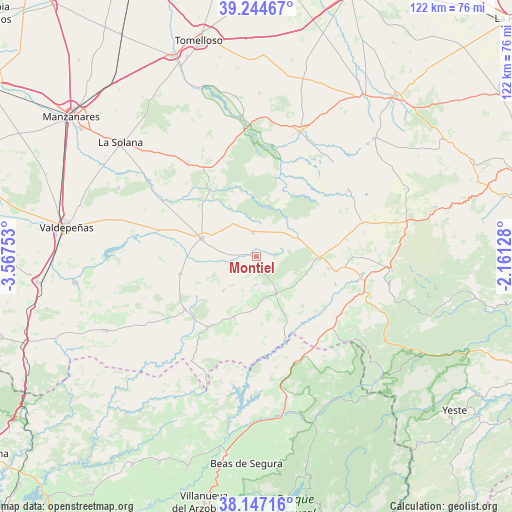
| Map corner | latitude | longitude |
|---|---|---|
| Upper-left | 39.24467°, | -3.56753° |
| Center: | 38.69802°, | -2.86441° |
| Lower-right: | 38.14716°, | -2.16128° |
| Map W x H: | 122×122 km | = 75.8×75.8mi |
| max Lat: | 43.74134° ⇑84.3% North |
| Montiel: | 38.69802° |
| min Lat: | ⇓15.7% South 27.64134° |
| min Long | Montiel | max Long |
| -18.00367° | -2.86441° | 4.2899° |
| W 56.5%⇐ | ⇒43.5% E |
Elevation
Elevation of Montiel is 894 m = 2933 ft, and this is 296 m = 971 ft above average elevation for this country.
| Max E: |
1682 m = 5518 ft | 20.3% |
| Montiel | 894 m 2933 ft | |
| Avg. | 598 m = 1962 ft | |
Min E: |
0 m = 0 ft | 79.7% |
See also: Spain elevation on elevation.city.
Geographical zone
Montiel is located in North temperate zone (between Tropic of Cancer and the Arctic Circle). Distance of this Northern Tropic circle is 1696.9 km =1054.4 mi to South.| Distance of | km | miles | from Montiel |
|---|---|---|---|
| North Pole | 5704.2 | 3544.4 | to North |
| Arctic Circle | 3098.4 | 1925.3 | to North |
| Tropic Cancer | 1696.9 | 1054.4 | to South |
| Equator | 4302.8 | 2673.6 | to South |


Nearby cities:
15 places around Montiel: (largest is in red/bold)
• Albaladejo
10.1 km =6.3 mi,  150°
150°
• Alcubillas
24.2 km =15 mi,  284°
284°
• Almedina
11.3 km =7 mi,  223°
223°
• Carrizosa
19.5 km =12.1 mi,  325°
325°
• Cózar
18.5 km =11.5 mi,  257°
257°
• Fuenllana
10.4 km =6.5 mi,  308°
308°
• Infantes
13.5 km =8.4 mi,  288°
288°
• Povedilla
22.8 km =14.2 mi,  89°
89°
• Puebla del Príncipe
15.5 km =9.6 mi,  200°
200°
• Santa Cruz de los Cáñamos
6.7 km =4.2 mi,  181°
181°
• Terrinches
9.9 km =6.2 mi,  168°
168°
• Torre de Juan Abad
21.2 km =13.2 mi,  233°
233°
• Villahermosa
5.8 km =3.6 mi,  354°
354°
• Villamanrique
20.4 km =12.7 mi,  214°
214°
• Villanueva de la Fuente
14.6 km =9.1 mi, 91°
Sources, notices
• [Note1] Compared only with cities in Spain existing in our database
• [Src1] Map data: © OpenStreetMap contributors (CC-BY-SA)
• [Src2] Other city data from geonames.org with taken over terms of usage.
• [Src3] Geographical zone / Annual Mean Temperature by Robert A. Rohde @ Wikipedia
