Llombai geodata
Llombai (Valencia) is a seat of a third-order administrative division; located in Spain in Europe/Madrid (GMT+2) time zone. With population of 2,720 people, there are 1810 cities with bigger population in this country. Compared to other cities in Spain, 78.8% of cities are located further ↑North; 80.9% of cities are located further ←West and 87.8% of cities have higher elevation than Llombai. Note1


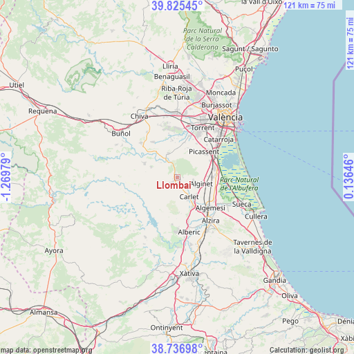
Llombai GPS coordinates[2]
39° 16' 59.988" North, 0° 34' 0.012" West
| Map corner | latitude | longitude |
|---|---|---|
| Upper-left | 39.82545°, | -1.26979° |
| Center: | 39.28333°, | -0.56667° |
| Lower-right: | 38.73698°, | 0.13646° |
| Map W x H: | 121×121 km | = 75.2×75.2mi |
| max Lat: | 43.74134° ⇑78.8% North |
| Llombai: | 39.28333° |
| min Lat: | ⇓21.2% South 27.64134° |
| min Long | Llombai | max Long |
| -18.00367° | -0.56667° | 4.2899° |
| W 80.9%⇐ | ⇒19.1% E |
Elevation
Elevation of Llombai is 98 m = 322 ft, and this is 500 m = 1640 ft below average elevation for this country.
| Max E: |
1682 m = 5518 ft | 87.8% |
| Avg. | 598 m = 1962 ft | |
| Llombai | 98 m = 322 ft | |
Min E: |
0 m = 0 ft | 12.2% |
See also: Spain elevation on elevation.city.
Geographical zone
Llombai is located in North temperate zone (between Tropic of Cancer and the Arctic Circle). Distance of this Northern Tropic circle is 1762 km =1094.9 mi to South.| Distance of | km | miles | from Llombai |
|---|---|---|---|
| North Pole | 5639.2 | 3504 | to North |
| Arctic Circle | 3033.3 | 1884.8 | to North |
| Tropic Cancer | 1762 | 1094.9 | to South |
| Equator | 4367.9 | 2714.1 | to South |


Nearby cities:
15 places around Llombai: (largest is in red/bold)
• Alcàsser
14.1 km =8.8 mi,  48°
48°
• Alfarp
1.4 km =0.9 mi,  90°
90°
• Algemesí
15.3 km =9.5 mi,  132°
132°
• Alginet
8.8 km =5.5 mi,  102°
102°
• Almussafes
12.9 km =8 mi, 90°
• Benifaió
12.1 km =7.5 mi, 89°
• Benimodo
8.4 km =5.2 mi,  155°
155°
• Carlet
7.4 km =4.6 mi,  148°
148°
• Catadau
1.9 km =1.2 mi,  180°
180°
• Guadassuar
13.2 km =8.2 mi,  144°
144°
• L'Alcúdia
10.9 km =6.8 mi, 151°
• Monserrat
9.7 km =6 mi,  342°
342°
• Montroy
7 km =4.3 mi,  322°
322°
• Picassent
12.8 km =8 mi, 45°
• Real de Montroi
6.3 km =3.9 mi,  332°
332°
Sources, notices
• [Note1] Compared only with cities in Spain existing in our database
• [Src1] Map data: © OpenStreetMap contributors (CC-BY-SA)
• [Src2] Other city data from geonames.org with taken over terms of usage.
• [Src3] Geographical zone / Annual Mean Temperature by Robert A. Rohde @ Wikipedia
