Caravaca geodata
Caravaca (Murcia) is a populated place; located in Spain in Europe/Madrid (GMT+2) time zone. With population of 26,415 people, there are 355 cities with bigger population in this country. Compared to other cities in Spain, 87.8% of cities are located further ↑North; 68.8% of cities are located further ←West and 51.1% of cities have higher elevation than Caravaca. Note1


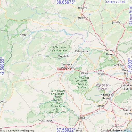
Caravaca GPS coordinates[2]
38° 6' 20.088" North, 1° 51' 48.348" West
| Map corner | latitude | longitude |
|---|---|---|
| Upper-left | 38.65675°, | -2.56655° |
| Center: | 38.10558°, | -1.86343° |
| Lower-right: | 37.55022°, | -1.1603° |
| Map W x H: | 123×123 km | = 76.4×76.4mi |
| max Lat: | 43.74134° ⇑87.8% North |
| Caravaca: | 38.10558° |
| min Lat: | ⇓12.2% South 27.64134° |
| min Long | Caravaca | max Long |
| -18.00367° | -1.86343° | 4.2899° |
| W 68.8%⇐ | ⇒31.2% E |
Elevation
Elevation of Caravaca is 647 m = 2123 ft, and this is 49 m = 161 ft above average elevation for this country.
| Max E: |
1682 m = 5518 ft | 51.1% |
| Caravaca | 647 m 2123 ft | |
| Avg. | 598 m = 1962 ft | |
Min E: |
0 m = 0 ft | 48.9% |
See also: Spain elevation on elevation.city.
Geographical zone
Caravaca is located in North temperate zone (between Tropic of Cancer and the Arctic Circle). Distance of this Northern Tropic circle is 1631 km =1013.5 mi to South.| Distance of | km | miles | from Caravaca |
|---|---|---|---|
| North Pole | 5770.1 | 3585.4 | to North |
| Arctic Circle | 3164.2 | 1966.1 | to North |
| Tropic Cancer | 1631 | 1013.5 | to South |
| Equator | 4236.9 | 2632.7 | to South |


Nearby cities:
15 places around Caravaca: (largest is in red/bold)
• Abarán
42.1 km =26.2 mi,  74°
74°
• Albudeite
42.6 km =26.5 mi,  101°
101°
• Aledo
43 km =26.7 mi,  143°
143°
• Bullas
18 km =11.2 mi,  111°
111°
• Calasparra
19.9 km =12.4 mi,  45°
45°
• Cehegín
5.9 km =3.7 mi, 104°
• Cieza
41.6 km =25.8 mi, 68°
• Elche de la Sierra
41.7 km =25.9 mi,  337°
337°
• Férez
29.7 km =18.5 mi, 336°
• Letur
35.7 km =22.2 mi,  324°
324°
• Moratalla
9.6 km =6 mi,  345°
345°
• Mula
33.5 km =20.8 mi, 102°
• Nerpio
38.6 km =24 mi,  276°
276°
• Pliego
34 km =21.1 mi, 112°
• Socovos
27.4 km =17 mi, 337°
Sources, notices
• [Note1] Compared only with cities in Spain existing in our database
• [Src1] Map data: © OpenStreetMap contributors (CC-BY-SA)
• [Src2] Other city data from geonames.org with taken over terms of usage.
• [Src3] Geographical zone / Annual Mean Temperature by Robert A. Rohde @ Wikipedia
