Villarreal de Huerva geodata
Villarreal de Huerva (Aragon) is a seat of a third-order administrative division; located in Spain in Europe/Madrid (GMT+2) time zone. With population of 197 people, there are 5052 cities with bigger population in this country. Compared to other cities in Spain, 52.9% of cities are located further ↓South; 74.8% of cities are located further ←West and 77.1% of cities have lower elevation than Villarreal de Huerva. Note1
Administrative division(s):
- Level 1: Aragon
- Level 2: Provincia de Zaragoza
- Level 3: Villarreal de Huerva


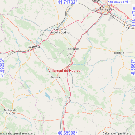
Villarreal de Huerva GPS coordinates[2]
41° 11' 25.224" North, 1° 17' 23.388" West
| Map corner | latitude | longitude |
|---|---|---|
| Upper-left | 41.71732°, | -1.99296° |
| Center: | 41.19034°, | -1.28983° |
| Lower-right: | 40.65908°, | -0.5867° |
| Map W x H: | 117.7×117.7 km | = 73.1×73.1mi |
| max Lat: | 43.74134° ⇑47.1% North |
| Villarreal de Huerva: | 41.19034° |
| min Lat: | ⇓52.9% South 27.64134° |
| min Long | Villarreal de H | max Long |
| -18.00367° | -1.28983° | 4.2899° |
| W 74.8%⇐ | ⇒25.2% E |
Elevation
Elevation of Villarreal de Huerva is 871 m = 2858 ft, and this is 273 m = 896 ft above average elevation for this country.
| Max E: |
1682 m = 5518 ft | 22.9% |
| Villarreal de Huerva | 871 m 2858 ft | |
| Avg. | 598 m = 1962 ft | |
Min E: |
0 m = 0 ft | 77.1% |
See also: Spain elevation on elevation.city.
Geographical zone
Villarreal de Huerva is located in North temperate zone (between Tropic of Cancer and the Arctic Circle). Distance of this Northern Tropic circle is 1974 km =1226.6 mi to South.| Distance of | km | miles | from Villarreal de Huerva |
|---|---|---|---|
| North Pole | 5427.1 | 3372.2 | to North |
| Arctic Circle | 2821.2 | 1753 | to North |
| Tropic Cancer | 1974 | 1226.6 | to South |
| Equator | 4579.9 | 2845.8 | to South |


Nearby cities:
15 places around Villarreal de Huerva: (largest is in red/bold)
• Badules
6.5 km =4 mi,  152°
152°
• Cerveruela
6.8 km =4.2 mi,  65°
65°
• Encinacorba
10.6 km =6.6 mi,  6°
6°
• Fombuena
9.6 km =6 mi,  122°
122°
• Langa del Castillo
9.4 km =5.8 mi,  284°
284°
• Lechón
11.6 km =7.2 mi,  177°
177°
• Mainar
1.1 km =0.7 mi, 283°
• Nombrevilla
10.9 km =6.8 mi,  212°
212°
• Retascón
9.4 km =5.8 mi,  236°
236°
• Romanos
7.2 km =4.5 mi,  170°
170°
• Torralbilla
4.6 km =2.9 mi,  298°
298°
• Villadoz
3.1 km =1.9 mi, 177°
• Villahermosa del Campo
9.7 km =6 mi,  158°
158°
• Villarroya del Campo
6 km =3.7 mi, 208°
• Vistabella
11.8 km =7.3 mi, 74°
Sources, notices
• [Note1] Compared only with cities in Spain existing in our database
• [Src1] Map data: © OpenStreetMap contributors (CC-BY-SA)
• [Src2] Other city data from geonames.org with taken over terms of usage.
• [Src3] Geographical zone / Annual Mean Temperature by Robert A. Rohde @ Wikipedia
