Tiurana geodata
Tiurana (Catalonia) is a seat of a third-order administrative division; located in Spain in Europe/Madrid (GMT+2) time zone. With population of 41 people, there are 6557 cities with bigger population in this country. Compared to other cities in Spain, 73% of cities are located further ↓South; 91.2% of cities are located further ←West and 51.3% of cities have higher elevation than Tiurana. Note1


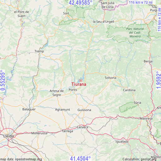
Tiurana GPS coordinates[2]
41° 58' 30.972" North, 1° 15' 21.888" East
| Map corner | latitude | longitude |
|---|---|---|
| Upper-left | 42.49585°, | 0.55295° |
| Center: | 41.97527°, | 1.25608° |
| Lower-right: | 41.4504°, | 1.9592° |
| Map W x H: | 116.2×116.2 km | = 72.2×72.2mi |
| max Lat: | 43.74134° ⇑27% North |
| Tiurana: | 41.97527° |
| min Lat: | ⇓73% South 27.64134° |
| min Long | Tiurana | max Long |
| -18.00367° | 1.25608° | 4.2899° |
| W 91.2%⇐ | ⇒8.8% E |
Elevation
Elevation of Tiurana is 645 m = 2116 ft, and this is 47 m = 154 ft above average elevation for this country.
| Max E: |
1682 m = 5518 ft | 51.3% |
| Tiurana | 645 m 2116 ft | |
| Avg. | 598 m = 1962 ft | |
Min E: |
0 m = 0 ft | 48.7% |
See also: Spain elevation on elevation.city.
Geographical zone
Tiurana is located in North temperate zone (between Tropic of Cancer and the Arctic Circle). Distance of this Northern Tropic circle is 2061.3 km =1280.8 mi to South.| Distance of | km | miles | from Tiurana |
|---|---|---|---|
| North Pole | 5339.8 | 3318 | to North |
| Arctic Circle | 2734 | 1698.8 | to North |
| Tropic Cancer | 2061.3 | 1280.8 | to South |
| Equator | 4667.2 | 2900.1 | to South |


Nearby cities:
15 places around Tiurana: (largest is in red/bold)
• Agramunt
24.8 km =15.4 mi,  212°
212°
• Artesa de Segre
19.5 km =12.1 mi,  242°
242°
• Castellfollit de Riubregós
27.4 km =17 mi,  147°
147°
• Coll de Nargó
22.7 km =14.1 mi,  12°
12°
• Cubells
28.2 km =17.5 mi, 240°
• Ivorra
26.1 km =16.2 mi, 152°
• Llimiana
30.2 km =18.8 mi,  291°
291°
• Montgai
30.9 km =19.2 mi,  230°
230°
• Oliana
11.4 km =7.1 mi,  24°
24°
• Olius
25.8 km =16 mi,  81°
81°
• Ossó de Sió
25.8 km =16 mi,  198°
198°
• Ponts
8.8 km =5.5 mi,  221°
221°
• Preixens
26.2 km =16.3 mi, 220°
• Solsona
21.7 km =13.5 mi, 84°
• Torà de Riubregós
21.3 km =13.2 mi, 145°
Sources, notices
• [Note1] Compared only with cities in Spain existing in our database
• [Src1] Map data: © OpenStreetMap contributors (CC-BY-SA)
• [Src2] Other city data from geonames.org with taken over terms of usage.
• [Src3] Geographical zone / Annual Mean Temperature by Robert A. Rohde @ Wikipedia
