Pantón geodata
Pantón (Galicia) is a seat of a third-order administrative division; located in Spain in Europe/Madrid (GMT+2) time zone. With population of 3,166 people, there are 1672 cities with bigger population in this country. Compared to other cities in Spain, 87.6% of cities are located further ↓South; 95.6% of cities are located further →East and 74.5% of cities have higher elevation than Pantón. Note1


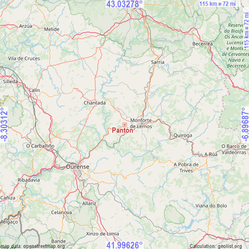
Pantón GPS coordinates[2]
42° 31' 0.012" North, 7° 36' 0" West
| Map corner | latitude | longitude |
|---|---|---|
| Upper-left | 43.03278°, | -8.30312° |
| Center: | 42.51667°, | -7.6° |
| Lower-right: | 41.99626°, | -6.89687° |
| Map W x H: | 115.3×115.2 km | = 71.6×71.6mi |
| max Lat: | 43.74134° ⇑12.4% North |
| Pantón: | 42.51667° |
| min Lat: | ⇓87.6% South 27.64134° |
| min Long | Pantón | max Long |
| -18.00367° | -7.6° | 4.2899° |
| W 4.4%⇐ | ⇒95.6% E |
Elevation
Elevation of Pantón is 304 m = 997 ft, and this is 294 m = 965 ft below average elevation for this country.
| Max E: |
1682 m = 5518 ft | 74.5% |
| Avg. | 598 m = 1962 ft | |
| Pantón | 304 m = 997 ft | |
Min E: |
0 m = 0 ft | 25.5% |
See also: Spain elevation on elevation.city.
Geographical zone
Pantón is located in North temperate zone (between Tropic of Cancer and the Arctic Circle). Distance of this Northern Tropic circle is 2121.5 km =1318.2 mi to South.| Distance of | km | miles | from Pantón |
|---|---|---|---|
| North Pole | 5279.7 | 3280.7 | to North |
| Arctic Circle | 2673.8 | 1661.4 | to North |
| Tropic Cancer | 2121.5 | 1318.2 | to South |
| Equator | 4727.4 | 2937.5 | to South |


Nearby cities:
15 places around Pantón: (largest is in red/bold)
• A Pobra do Brollon
17.6 km =10.9 mi,  75°
75°
• Bóveda
15.7 km =9.8 mi,  40°
40°
• Carballedo
18.7 km =11.6 mi,  271°
271°
• Castro Caldelas
21.4 km =13.3 mi,  138°
138°
• Chantada
17.4 km =10.8 mi,  306°
306°
• Coles
23.1 km =14.4 mi,  235°
235°
• Esgos
22.7 km =14.1 mi,  200°
200°
• Lobios
13.4 km =8.3 mi,  155°
155°
• Luintra
15.8 km =9.8 mi,  221°
221°
• Monforte de Lemos
7.1 km =4.4 mi,  85°
85°
• Nogueira de Ramuín
16.5 km =10.3 mi,  227°
227°
• O Incio
24.2 km =15 mi,  57°
57°
• Sober
6.3 km =3.9 mi,  169°
169°
• Vilamarín
24.6 km =15.3 mi,  256°
256°
• Vilarnaz
25.1 km =15.6 mi, 239°
Sources, notices
• [Note1] Compared only with cities in Spain existing in our database
• [Src1] Map data: © OpenStreetMap contributors (CC-BY-SA)
• [Src2] Other city data from geonames.org with taken over terms of usage.
• [Src3] Geographical zone / Annual Mean Temperature by Robert A. Rohde @ Wikipedia
