Medina de Pomar geodata
Medina de Pomar (Castille and León) is a seat of a third-order administrative division; located in Spain in Europe/Madrid (GMT+2) time zone. With population of 5,524 people, there are 1207 cities with bigger population in this country. Compared to other cities in Spain, 93.9% of cities are located further ↓South; 52% of cities are located further →East and 55.3% of cities have higher elevation than Medina de Pomar. Note1
Administrative division(s):
- Level 1: Castille and León
- Level 2: Provincia de Burgos
- Level 3: Medina de Pomar


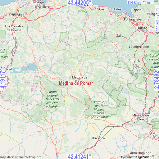
Medina de Pomar GPS coordinates[2]
42° 55' 45.768" North, 3° 29' 16.944" West
| Map corner | latitude | longitude |
|---|---|---|
| Upper-left | 43.44205°, | -4.19117° |
| Center: | 42.92938°, | -3.48804° |
| Lower-right: | 42.41241°, | -2.78492° |
| Map W x H: | 114.5×114.5 km | = 71.1×71.1mi |
| max Lat: | 43.74134° ⇑6.1% North |
| Medina de Pomar: | 42.92938° |
| min Lat: | ⇓93.9% South 27.64134° |
| min Long | Medina de Pomar | max Long |
| -18.00367° | -3.48804° | 4.2899° |
| W 48%⇐ | ⇒52% E |
Elevation
Elevation of Medina de Pomar is 591 m = 1939 ft, and this is 7 m = 23 ft below average elevation for this country.
| Max E: |
1682 m = 5518 ft | 55.3% |
| Avg. | 598 m = 1962 ft | |
| Medina de Pomar | 591 m = 1939 ft | |
Min E: |
0 m = 0 ft | 44.7% |
See also: Spain elevation on elevation.city.
Geographical zone
Medina de Pomar is located in North temperate zone (between Tropic of Cancer and the Arctic Circle). Distance of this Northern Tropic circle is 2167.4 km =1346.8 mi to South.| Distance of | km | miles | from Medina de Pomar |
|---|---|---|---|
| North Pole | 5233.8 | 3252.1 | to North |
| Arctic Circle | 2627.9 | 1632.9 | to North |
| Tropic Cancer | 2167.4 | 1346.8 | to South |
| Equator | 4773.3 | 2966 | to South |


Nearby cities:
15 places around Medina de Pomar: (largest is in red/bold)
• Cantabrana
21.8 km =13.5 mi,  175°
175°
• Espinosa de los Monteros
17.3 km =10.7 mi,  342°
342°
• Frías
24.4 km =15.2 mi,  139°
139°
• Lanestosa
32.5 km =20.2 mi,  7°
7°
• Navas de Bureba
30.6 km =19 mi,  154°
154°
• Oña
22.5 km =14 mi,  164°
164°
• Padrones de Bureba
25.1 km =15.6 mi,  188°
188°
• Poza de la Sal
29.4 km =18.3 mi, 182°
• Quintanaélez
32.8 km =20.4 mi, 151°
• Rucandio
20.3 km =12.6 mi, 192°
• Salas de Bureba
26.4 km =16.4 mi, 177°
• Sedano
31.9 km =19.8 mi,  222°
222°
• Trespaderne
16.2 km =10.1 mi, 150°
• Villanueva de Valdegovía
33 km =20.5 mi,  105°
105°
• Villasana de Mena
25.3 km =15.7 mi,  41°
41°
Sources, notices
• [Note1] Compared only with cities in Spain existing in our database
• [Src1] Map data: © OpenStreetMap contributors (CC-BY-SA)
• [Src2] Other city data from geonames.org with taken over terms of usage.
• [Src3] Geographical zone / Annual Mean Temperature by Robert A. Rohde @ Wikipedia
