Aragüés del Puerto geodata
Aragüés del Puerto (Aragon) is a seat of a third-order administrative division; located in Spain in Europe/Madrid (GMT+2) time zone. With population of 143 people, there are 5475 cities with bigger population in this country. Compared to other cities in Spain, 91.6% of cities are located further ↓South; 80.1% of cities are located further ←West and 84.7% of cities have lower elevation than Aragüés del Puerto. Note1
Administrative division(s):
- Level 1: Aragon
- Level 2: Provincia de Huesca
- Level 3: Aragüés del Puerto


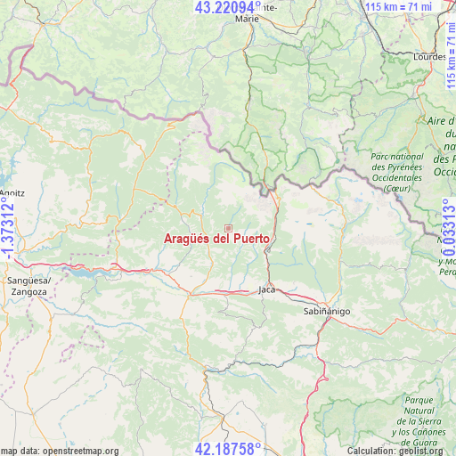
Aragüés del Puerto GPS coordinates[2]
42° 42' 23.076" North, 0° 40' 11.964" West
| Map corner | latitude | longitude |
|---|---|---|
| Upper-left | 43.22094°, | -1.37312° |
| Center: | 42.70641°, | -0.66999° |
| Lower-right: | 42.18758°, | 0.03313° |
| Map W x H: | 114.9×114.9 km | = 71.4×71.4mi |
| max Lat: | 43.74134° ⇑8.4% North |
| Aragüés del Puerto: | 42.70641° |
| min Lat: | ⇓91.6% South 27.64134° |
| min Long | Aragüés del P | max Long |
| -18.00367° | -0.66999° | 4.2899° |
| W 80.1%⇐ | ⇒19.9% E |
Elevation
Elevation of Aragüés del Puerto is 948 m = 3110 ft, and this is 350 m = 1148 ft above average elevation for this country.
| Max E: |
1682 m = 5518 ft | 15.3% |
| Aragüés del Puerto | 948 m 3110 ft | |
| Avg. | 598 m = 1962 ft | |
Min E: |
0 m = 0 ft | 84.7% |
See also: Spain elevation on elevation.city.
Geographical zone
Aragüés del Puerto is located in North temperate zone (between Tropic of Cancer and the Arctic Circle). Distance of this Northern Tropic circle is 2142.6 km =1331.3 mi to South.| Distance of | km | miles | from Aragüés del Puerto |
|---|---|---|---|
| North Pole | 5258.6 | 3267.5 | to North |
| Arctic Circle | 2652.7 | 1648.3 | to North |
| Tropic Cancer | 2142.6 | 1331.3 | to South |
| Equator | 4748.5 | 2950.6 | to South |


Nearby cities:
15 places around Aragüés del Puerto: (largest is in red/bold)
• Ansó
14.2 km =8.8 mi,  293°
293°
• Bailo
24.8 km =15.4 mi,  207°
207°
• Borau
8.5 km =5.3 mi,  128°
128°
• Canfranc
11.8 km =7.3 mi,  84°
84°
• Castiello de Jaca
13 km =8.1 mi, 131°
• Echo
7.5 km =4.7 mi,  298°
298°
• Fago
17.5 km =10.9 mi,  280°
280°
• Garde
22.8 km =14.2 mi, 293°
• Jaca
18.2 km =11.3 mi,  147°
147°
• Jasa
1.3 km =0.8 mi,  165°
165°
• Mianos
26.9 km =16.7 mi,  239°
239°
• Puente la Reina de Jaca
19 km =11.8 mi, 210°
• Santa Cruz de la Serós
20.4 km =12.7 mi,  181°
181°
• Urzainqui
26.4 km =16.4 mi, 301°
• Villanúa
11.2 km =7 mi,  105°
105°
Sources, notices
• [Note1] Compared only with cities in Spain existing in our database
• [Src1] Map data: © OpenStreetMap contributors (CC-BY-SA)
• [Src2] Other city data from geonames.org with taken over terms of usage.
• [Src3] Geographical zone / Annual Mean Temperature by Robert A. Rohde @ Wikipedia
