Wallers geodata
Wallers (Hauts-de-France) is a populated place; located in France in Europe/Paris (GMT+2) time zone. With population of 5,546 people, there are 1786 cities with bigger population in this country. Compared to other cities in France, 96.2% of cities are located further ↓South; 63.1% of cities are located further ←West and 93.1% of cities have higher elevation than Wallers. Note1
Administrative division(s):
- Level 1: Hauts-de-France
- Level 2: Nord
- Level 3: Arrondissement de Valenciennes
- Level 4: Wallers


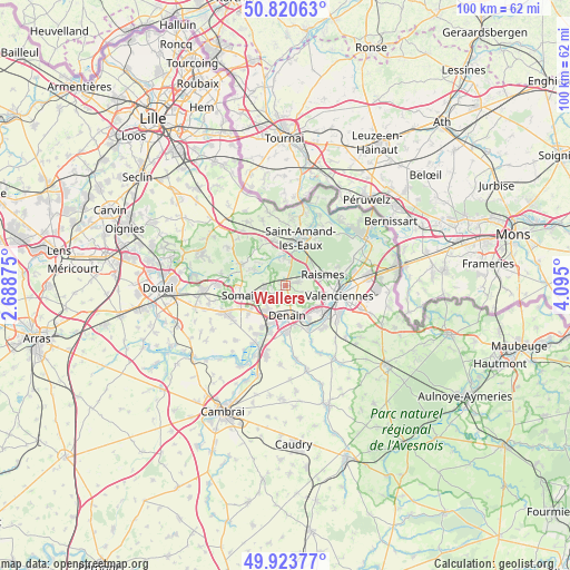
Wallers GPS coordinates[2]
50° 22' 27.552" North, 3° 23' 30.768" East
| Map corner | latitude | longitude |
|---|---|---|
| Upper-left | 50.82063°, | 2.68875° |
| Center: | 50.37432°, | 3.39188° |
| Lower-right: | 49.92377°, | 4.095° |
| Map W x H: | 99.7×99.7 km | = 62×62mi |
| max Lat: | 51.07786° ⇑3.8% North |
| Wallers: | 50.37432° |
| min Lat: | ⇓96.2% South 41.3874° |
| min Long | Wallers | max Long |
| -5.08615° | 3.39188° | 9.52242° |
| W 63.1%⇐ | ⇒36.9% E |
Elevation
Elevation of Wallers is 22 m = 72 ft, and this is 171.7 m = 563 ft below average elevation for this country.
| Max E: |
2333 m = 7654 ft | 93.1% |
| Avg. | 193.7 m = 635 ft | |
| Wallers | 22 m = 72 ft | |
Min E: |
-1 m = -3 ft | 6.9% |
See also: France elevation on elevation.city.
Geographical zone
Wallers is located in North temperate zone (between Tropic of Cancer and the Arctic Circle). Distance of this North polar circle is 1800.1 km =1118.5 mi to North.| Distance of | km | miles | from Wallers |
|---|---|---|---|
| North Pole | 4406 | 2737.8 | to North |
| Arctic Circle | 1800.1 | 1118.5 | to North |
| Tropic Cancer | 2995.2 | 1861.1 | to South |
| Equator | 5601.1 | 3480.4 | to South |


Nearby cities:
15 places around Wallers: (largest is in red/bold)
• Aubry-du-Hainaut
5.4 km =3.4 mi,  99°
99°
• Bellaing
2.5 km =1.6 mi,  106°
106°
• Denain
5 km =3.1 mi,  178°
178°
• Erre
5.6 km =3.5 mi,  256°
256°
• Escaudain
5.7 km =3.5 mi,  216°
216°
• Fenain
6.6 km =4.1 mi, 262°
• Hasnon
5.6 km =3.5 mi,  356°
356°
• Haveluy
2.5 km =1.6 mi,  160°
160°
• Hornaing
3.9 km =2.4 mi, 260°
• Hélesmes
2.4 km =1.5 mi, 259°
• Hérin
4.8 km =3 mi,  115°
115°
• Petite-Forêt
6.5 km =4 mi, 97°
• Raismes
6.6 km =4.1 mi,  81°
81°
• Wandignies-Hamage
6 km =3.7 mi,  293°
293°
• Wavrechain-sous-Denain
4.9 km =3 mi, 162°
Sources, notices
• [Note1] Compared only with cities in France existing in our database
• [Src1] Map data: © OpenStreetMap contributors (CC-BY-SA)
• [Src2] Other city data from geonames.org with taken over terms of usage.
• [Src3] Geographical zone / Annual Mean Temperature by Robert A. Rohde @ Wikipedia
