Trébry geodata
Trébry (Brittany) is a populated place; located in France in Europe/Paris (GMT+2) time zone. With population of 746 people, there are 11210 cities with bigger population in this country. Compared to other cities in France, 65.6% of cities are located further ↓South; 96.4% of cities are located further →East and 56.8% of cities have lower elevation than Trébry. Note1
Administrative division(s):
- Level 1: Brittany
- Level 2: Département des Côtes-d’Armor
- Level 3: Arrondissement de Saint-Brieuc
- Level 4: Trébry


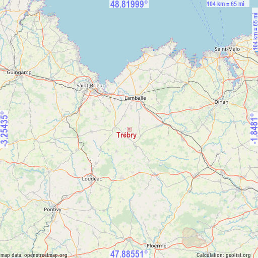
Trébry GPS coordinates[2]
48° 21' 17.604" North, 2° 33' 4.392" West
| Map corner | latitude | longitude |
|---|---|---|
| Upper-left | 48.81999°, | -3.25435° |
| Center: | 48.35489°, | -2.55122° |
| Lower-right: | 47.88551°, | -1.8481° |
| Map W x H: | 103.9×103.9 km | = 64.6×64.6mi |
| max Lat: | 51.07786° ⇑34.4% North |
| Trébry: | 48.35489° |
| min Lat: | ⇓65.6% South 41.3874° |
| min Long | Trébry | max Long |
| -5.08615° | -2.55122° | 9.52242° |
| W 3.6%⇐ | ⇒96.4% E |
Elevation
Elevation of Trébry is 157 m = 515 ft, and this is 36.7 m = 120 ft below average elevation for this country.
| Max E: |
2333 m = 7654 ft | 43.2% |
| Avg. | 193.7 m = 635 ft | |
| Trébry | 157 m = 515 ft | |
Min E: |
-1 m = -3 ft | 56.8% |
See also: France elevation on elevation.city.
Geographical zone
Trébry is located in North temperate zone (between Tropic of Cancer and the Arctic Circle). Distance of this North polar circle is 2024.6 km =1258 mi to North.| Distance of | km | miles | from Trébry |
|---|---|---|---|
| North Pole | 4630.5 | 2877.3 | to North |
| Arctic Circle | 2024.6 | 1258 | to North |
| Tropic Cancer | 2770.6 | 1721.6 | to South |
| Equator | 5376.6 | 3340.9 | to South |


Nearby cities:
15 places around Trébry: (largest is in red/bold)
• Bréhand
5.6 km =3.5 mi,  342°
342°
• Collinée
6.6 km =4.1 mi,  158°
158°
• Hénon
10.3 km =6.4 mi,  288°
288°
• Landéhen
8.4 km =5.2 mi,  5°
5°
• Le Gouray
5.6 km =3.5 mi,  123°
123°
• Meslin
10.1 km =6.3 mi,  352°
352°
• Moncontour
6 km =3.7 mi,  275°
275°
• Plessala
10.1 km =6.3 mi,  209°
209°
• Plestan
10.7 km =6.6 mi,  45°
45°
• Plémy
9.9 km =6.2 mi,  258°
258°
• Quessoy
11 km =6.8 mi,  312°
312°
• Saint-Glen
2.1 km =1.3 mi,  79°
79°
• Saint-Gouéno
9.8 km =6.1 mi,  187°
187°
• Saint-Jacut-du-Mené
9.6 km =6 mi,  148°
148°
• Trédaniel
5 km =3.1 mi,  274°
274°
Sources, notices
• [Note1] Compared only with cities in France existing in our database
• [Src1] Map data: © OpenStreetMap contributors (CC-BY-SA)
• [Src2] Other city data from geonames.org with taken over terms of usage.
• [Src3] Geographical zone / Annual Mean Temperature by Robert A. Rohde @ Wikipedia
