Theix geodata
Theix (Brittany) is a populated place; located in France in Europe/Paris (GMT+2) time zone. With population of 5,402 people, there are 1824 cities with bigger population in this country. Compared to other cities in France, 53.1% of cities are located further ↓South; 96.6% of cities are located further →East and 94.7% of cities have higher elevation than Theix. Note1
Administrative division(s):
- Level 1: Brittany
- Level 2: Morbihan
- Level 3: Arrondissement de Vannes
- Level 4: Theix-Noyalo


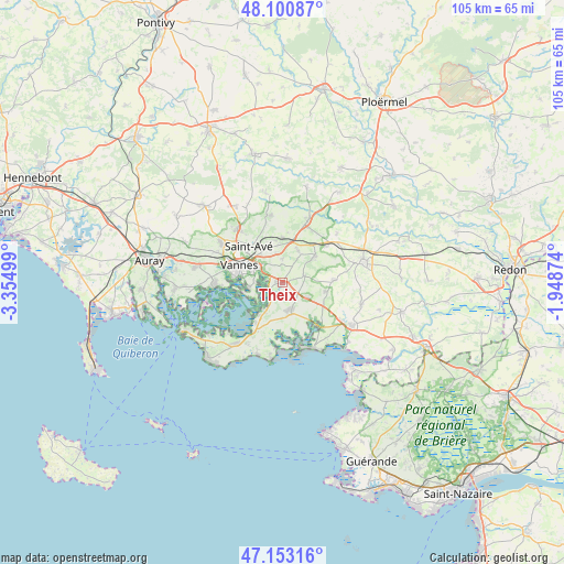
Theix GPS coordinates[2]
47° 37' 44.976" North, 2° 39' 6.696" West
| Map corner | latitude | longitude |
|---|---|---|
| Upper-left | 48.10087°, | -3.35499° |
| Center: | 47.62916°, | -2.65186° |
| Lower-right: | 47.15316°, | -1.94874° |
| Map W x H: | 105.4×105.4 km | = 65.5×65.5mi |
| max Lat: | 51.07786° ⇑46.9% North |
| Theix: | 47.62916° |
| min Lat: | ⇓53.1% South 41.3874° |
| min Long | Theix | max Long |
| -5.08615° | -2.65186° | 9.52242° |
| W 3.4%⇐ | ⇒96.6% E |
Elevation
Elevation of Theix is 18 m = 59 ft, and this is 175.7 m = 576 ft below average elevation for this country.
| Max E: |
2333 m = 7654 ft | 94.7% |
| Avg. | 193.7 m = 635 ft | |
| Theix | 18 m = 59 ft | |
Min E: |
-1 m = -3 ft | 5.3% |
See also: France elevation on elevation.city.
Geographical zone
Theix is located in North temperate zone (between Tropic of Cancer and the Arctic Circle). Distance of this North polar circle is 2105.3 km =1308.2 mi to North.| Distance of | km | miles | from Theix |
|---|---|---|---|
| North Pole | 4711.2 | 2927.4 | to North |
| Arctic Circle | 2105.3 | 1308.2 | to North |
| Tropic Cancer | 2689.9 | 1671.4 | to South |
| Equator | 5295.9 | 3290.7 | to South |


Nearby cities:
15 places around Theix: (largest is in red/bold)
• Ambon
11.1 km =6.9 mi,  139°
139°
• Berric
9.7 km =6 mi,  87°
87°
• La Trinité-Surzur
5.3 km =3.3 mi,  121°
121°
• La Vraie-Croix
10.6 km =6.6 mi,  50°
50°
• Lauzach
8.3 km =5.2 mi,  101°
101°
• Le Hézo
6.1 km =3.8 mi,  217°
217°
• Noyalo
2.9 km =1.8 mi, 221°
• Saint-Armel
7.6 km =4.7 mi,  214°
214°
• Saint-Avé
9.9 km =6.2 mi,  314°
314°
• Saint-Nolff
8.3 km =5.2 mi,  359°
359°
• Sulniac
7.8 km =4.8 mi, 50°
• Surzur
5.9 km =3.7 mi,  163°
163°
• Séné
6.5 km =4 mi,  259°
259°
• Treffléan
6.5 km =4 mi,  26°
26°
• Vannes
8.4 km =5.2 mi,  292°
292°
Sources, notices
• [Note1] Compared only with cities in France existing in our database
• [Src1] Map data: © OpenStreetMap contributors (CC-BY-SA)
• [Src2] Other city data from geonames.org with taken over terms of usage.
• [Src3] Geographical zone / Annual Mean Temperature by Robert A. Rohde @ Wikipedia
