Sewen geodata
Sewen (Grand Est) is a populated place; located in France in Europe/Paris (GMT+2) time zone. With population of 555 people, there are 14118 cities with bigger population in this country. Compared to other cities in France, 55.8% of cities are located further ↓South; 94.3% of cities are located further ←West and 92.9% of cities have lower elevation than Sewen. Note1
Administrative division(s):
- Level 1: Grand Est
- Level 2: Haut-Rhin
- Level 3: Arrondissement de Thann-Guebwiller
- Level 4: Sewen


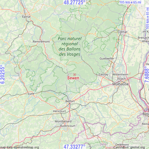
Sewen GPS coordinates[2]
47° 48' 25.776" North, 6° 54' 20.448" East
| Map corner | latitude | longitude |
|---|---|---|
| Upper-left | 48.27725°, | 6.20255° |
| Center: | 47.80716°, | 6.90568° |
| Lower-right: | 47.33277°, | 7.6088° |
| Map W x H: | 105×105 km | = 65.2×65.2mi |
| max Lat: | 51.07786° ⇑44.2% North |
| Sewen: | 47.80716° |
| min Lat: | ⇓55.8% South 41.3874° |
| min Long | Sewen | max Long |
| -5.08615° | 6.90568° | 9.52242° |
| W 94.3%⇐ | ⇒5.7% E |
Elevation
Elevation of Sewen is 501 m = 1644 ft, and this is 307.3 m = 1008 ft above average elevation for this country.
| Max E: |
2333 m = 7654 ft | 7.1% |
| Sewen | 501 m 1644 ft | |
| Avg. | 193.7 m = 635 ft | |
Min E: |
-1 m = -3 ft | 92.9% |
See also: France elevation on elevation.city.
Geographical zone
Sewen is located in North temperate zone (between Tropic of Cancer and the Arctic Circle). Distance of this North polar circle is 2085.5 km =1295.9 mi to North.| Distance of | km | miles | from Sewen |
|---|---|---|---|
| North Pole | 4691.4 | 2915.1 | to North |
| Arctic Circle | 2085.5 | 1295.9 | to North |
| Tropic Cancer | 2709.7 | 1683.7 | to South |
| Equator | 5315.7 | 3303 | to South |


Nearby cities:
15 places around Sewen: (largest is in red/bold)
• Bussang
9.5 km =5.9 mi,  335°
335°
• Chaux
11.5 km =7.1 mi,  207°
207°
• Fellering
11.6 km =7.2 mi,  30°
30°
• Giromagny
9.3 km =5.8 mi,  219°
219°
• Grosmagny
9.4 km =5.8 mi,  189°
189°
• Husseren-Wesserling
10.6 km =6.6 mi,  36°
36°
• Kirchberg
4 km =2.5 mi,  105°
105°
• Lauw
10.1 km =6.3 mi,  123°
123°
• Lepuix
8.6 km =5.3 mi,  232°
232°
• Masevaux
7.6 km =4.7 mi, 116°
• Rimbach-près-Masevaux
4.2 km =2.6 mi,  55°
55°
• Rougegoutte
9.2 km =5.7 mi, 206°
• Rougemont-le-Château
9.2 km =5.7 mi,  150°
150°
• Saint-Maurice-sur-Moselle
8.3 km =5.2 mi,  313°
313°
• Vescemont
8.4 km =5.2 mi, 213°
Sources, notices
• [Note1] Compared only with cities in France existing in our database
• [Src1] Map data: © OpenStreetMap contributors (CC-BY-SA)
• [Src2] Other city data from geonames.org with taken over terms of usage.
• [Src3] Geographical zone / Annual Mean Temperature by Robert A. Rohde @ Wikipedia
