Sées geodata
Sées (Normandy) is a populated place; located in France in Europe/Paris (GMT+2) time zone. With population of 4,985 people, there are 1990 cities with bigger population in this country. Compared to other cities in France, 71% of cities are located further ↓South; 76.5% of cities are located further →East and 63.3% of cities have lower elevation than Sées. Note1
Administrative division(s):
- Level 1: Normandy
- Level 2: Département de l'Orne
- Level 3: Arrondissement d’Alençon
- Level 4: Sées


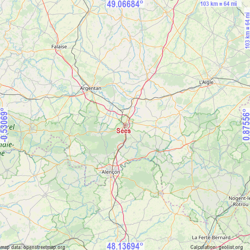
Sées GPS coordinates[2]
48° 36' 14.508" North, 0° 10' 20.784" East
| Map corner | latitude | longitude |
|---|---|---|
| Upper-left | 49.06684°, | -0.53069° |
| Center: | 48.60403°, | 0.17244° |
| Lower-right: | 48.13694°, | 0.87556° |
| Map W x H: | 103.4×103.4 km | = 64.2×64.2mi |
| max Lat: | 51.07786° ⇑29% North |
| Sées: | 48.60403° |
| min Lat: | ⇓71% South 41.3874° |
| min Long | Sées | max Long |
| -5.08615° | 0.17244° | 9.52242° |
| W 23.5%⇐ | ⇒76.5% E |
Elevation
Elevation of Sées is 186 m = 610 ft, and this is 7.7 m = 25 ft below average elevation for this country.
| Max E: |
2333 m = 7654 ft | 36.7% |
| Avg. | 193.7 m = 635 ft | |
| Sées | 186 m = 610 ft | |
Min E: |
-1 m = -3 ft | 63.3% |
See also: France elevation on elevation.city.
Geographical zone
Sées is located in North temperate zone (between Tropic of Cancer and the Arctic Circle). Distance of this North polar circle is 1996.9 km =1240.8 mi to North.| Distance of | km | miles | from Sées |
|---|---|---|---|
| North Pole | 4602.8 | 2860 | to North |
| Arctic Circle | 1996.9 | 1240.8 | to North |
| Tropic Cancer | 2798.3 | 1738.8 | to South |
| Equator | 5404.3 | 3358.1 | to South |


Nearby cities:
15 places around Sées: (largest is in red/bold)
• Almenêches
11.3 km =7 mi,  336°
336°
• Cerisé
17.4 km =10.8 mi,  189°
189°
• Courtomer
13.8 km =8.6 mi,  79°
79°
• Damigny
18.8 km =11.7 mi,  204°
204°
• Essay
8.9 km =5.5 mi,  141°
141°
• La Fresnaye-sur-Chédouet
18.4 km =11.4 mi,  160°
160°
• Le Merlerault
13.6 km =8.5 mi,  37°
37°
• Le Mêle-sur-Sarthe
16.8 km =10.4 mi,  127°
127°
• Lonrai
18.8 km =11.7 mi,  211°
211°
• Mortrée
7.9 km =4.9 mi,  299°
299°
• Nonant-le-Pin
11.9 km =7.4 mi,  17°
17°
• Radon
12.4 km =7.7 mi, 204°
• Saint-Julien-sur-Sarthe
18.6 km =11.6 mi, 132°
• Sainte-Scolasse-sur-Sarthe
16.5 km =10.3 mi,  100°
100°
• Valframbert
16.2 km =10.1 mi, 196°
Sources, notices
• [Note1] Compared only with cities in France existing in our database
• [Src1] Map data: © OpenStreetMap contributors (CC-BY-SA)
• [Src2] Other city data from geonames.org with taken over terms of usage.
• [Src3] Geographical zone / Annual Mean Temperature by Robert A. Rohde @ Wikipedia
