Samadet geodata
Samadet (Nouvelle-Aquitaine) is a populated place; located in France in Europe/Paris (GMT+2) time zone. With population of 1,095 people, there are 8159 cities with bigger population in this country. Compared to other cities in France, 91.4% of cities are located further ↑North; 83.2% of cities are located further →East and 51.4% of cities have lower elevation than Samadet. Note1
Administrative division(s):
- Level 1: Nouvelle-Aquitaine
- Level 2: Landes
- Level 3: Arrondissement de Mont-de-Marsan
- Level 4: Samadet


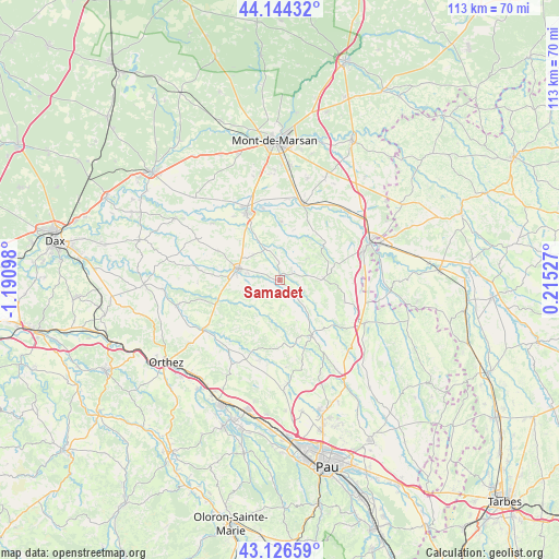
Samadet GPS coordinates[2]
43° 38' 15.396" North, 0° 29' 16.26" West
| Map corner | latitude | longitude |
|---|---|---|
| Upper-left | 44.14432°, | -1.19098° |
| Center: | 43.63761°, | -0.48785° |
| Lower-right: | 43.12659°, | 0.21527° |
| Map W x H: | 113.2×113.2 km | = 70.3×70.3mi |
| max Lat: | 51.07786° ⇑91.4% North |
| Samadet: | 43.63761° |
| min Lat: | ⇓8.6% South 41.3874° |
| min Long | Samadet | max Long |
| -5.08615° | -0.48785° | 9.52242° |
| W 16.8%⇐ | ⇒83.2% E |
Elevation
Elevation of Samadet is 137 m = 449 ft, and this is 56.7 m = 186 ft below average elevation for this country.
| Max E: |
2333 m = 7654 ft | 48.6% |
| Avg. | 193.7 m = 635 ft | |
| Samadet | 137 m = 449 ft | |
Min E: |
-1 m = -3 ft | 51.4% |
See also: France elevation on elevation.city.
Geographical zone
Samadet is located in North temperate zone (between Tropic of Cancer and the Arctic Circle). Distance of this Northern Tropic circle is 2246.1 km =1395.7 mi to South.| Distance of | km | miles | from Samadet |
|---|---|---|---|
| North Pole | 5155 | 3203.2 | to North |
| Arctic Circle | 2549.1 | 1583.9 | to North |
| Tropic Cancer | 2246.1 | 1395.7 | to South |
| Equator | 4852 | 3014.9 | to South |


Nearby cities:
15 places around Samadet: (largest is in red/bold)
• Arzacq-Arraziguet
12.9 km =8 mi,  153°
153°
• Doazit
14.1 km =8.8 mi,  295°
295°
• Duhort-Bachen
16.4 km =10.2 mi,  54°
54°
• Eugénie-les-Bains
11 km =6.8 mi, 53°
• Geaune
8.8 km =5.5 mi,  87°
87°
• Grenade-sur-l’Adour
16.2 km =10.1 mi,  16°
16°
• Hagetmau
8.7 km =5.4 mi,  285°
285°
• Horsarrieu
10.2 km =6.3 mi, 299°
• Larrivière-Saint-Savin
15.4 km =9.6 mi, 21°
• Montgaillard
11.7 km =7.3 mi,  1°
1°
• Montsoué
10.7 km =6.6 mi,  351°
351°
• Renung
16.2 km =10.1 mi,  41°
41°
• Saint-Cricq-Chalosse
16 km =9.9 mi,  276°
276°
• Saint-Sever
15 km =9.3 mi,  332°
332°
• Sainte-Colombe
7.4 km =4.6 mi,  312°
312°
Sources, notices
• [Note1] Compared only with cities in France existing in our database
• [Src1] Map data: © OpenStreetMap contributors (CC-BY-SA)
• [Src2] Other city data from geonames.org with taken over terms of usage.
• [Src3] Geographical zone / Annual Mean Temperature by Robert A. Rohde @ Wikipedia
