Roiffé geodata
Roiffé (Nouvelle-Aquitaine) is a populated place; located in France in Europe/Paris (GMT+2) time zone. With population of 700 people, there are 11801 cities with bigger population in this country. Compared to other cities in France, 54% of cities are located further ↑North; 77.7% of cities are located further →East and 75.4% of cities have higher elevation than Roiffé. Note1
Administrative division(s):
- Level 1: Nouvelle-Aquitaine
- Level 2: Vienne
- Level 3: Arrondissement de Châtellerault
- Level 4: Roiffé


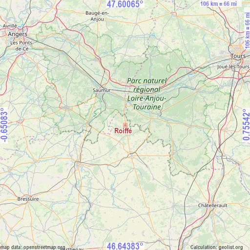
Roiffé GPS coordinates[2]
47° 7' 27.804" North, 0° 3' 8.28" East
| Map corner | latitude | longitude |
|---|---|---|
| Upper-left | 47.60065°, | -0.65083° |
| Center: | 47.12439°, | 0.0523° |
| Lower-right: | 46.64383°, | 0.75542° |
| Map W x H: | 106.4×106.4 km | = 66.1×66.1mi |
| max Lat: | 51.07786° ⇑54% North |
| Roiffé: | 47.12439° |
| min Lat: | ⇓46% South 41.3874° |
| min Long | Roiffé | max Long |
| -5.08615° | 0.0523° | 9.52242° |
| W 22.3%⇐ | ⇒77.7% E |
Elevation
Elevation of Roiffé is 66 m = 217 ft, and this is 127.7 m = 419 ft below average elevation for this country.
| Max E: |
2333 m = 7654 ft | 75.4% |
| Avg. | 193.7 m = 635 ft | |
| Roiffé | 66 m = 217 ft | |
Min E: |
-1 m = -3 ft | 24.6% |
See also: France elevation on elevation.city.
Geographical zone
Roiffé is located in North temperate zone (between Tropic of Cancer and the Arctic Circle). Distance of this North polar circle is 2161.4 km =1343 mi to North.| Distance of | km | miles | from Roiffé |
|---|---|---|---|
| North Pole | 4767.3 | 2962.3 | to North |
| Arctic Circle | 2161.4 | 1343 | to North |
| Tropic Cancer | 2633.8 | 1636.6 | to South |
| Equator | 5239.7 | 3255.8 | to South |


Nearby cities:
15 places around Roiffé: (largest is in red/bold)
• Avoine
13.3 km =8.3 mi,  47°
47°
• Beaumont-en-Véron
12.6 km =7.8 mi, 52°
• Beuxes
10.2 km =6.3 mi,  109°
109°
• Brézé
10.1 km =6.3 mi,  302°
302°
• Fontevraud-l'Abbaye
6.6 km =4.1 mi,  358°
358°
• La Roche-Clermault
11.7 km =7.3 mi,  82°
82°
• Les Trois-Moutiers
7.2 km =4.5 mi,  199°
199°
• Loudun
13.2 km =8.2 mi,  169°
169°
• Montsoreau
10.2 km =6.3 mi,  4°
4°
• Saint-Cyr-en-Bourg
11.6 km =7.2 mi,  312°
312°
• Sammarçolles
12.4 km =7.7 mi,  145°
145°
• Savigny-en-Véron
11 km =6.8 mi,  39°
39°
• Souzay-Champigny
13.3 km =8.3 mi,  339°
339°
• Varennes-sur-Loire
12.6 km =7.8 mi, 0°
• Épieds
7.7 km =4.8 mi,  286°
286°
Sources, notices
• [Note1] Compared only with cities in France existing in our database
• [Src1] Map data: © OpenStreetMap contributors (CC-BY-SA)
• [Src2] Other city data from geonames.org with taken over terms of usage.
• [Src3] Geographical zone / Annual Mean Temperature by Robert A. Rohde @ Wikipedia
