Plouha geodata
Plouha (Brittany) is a populated place; located in France in Europe/Paris (GMT+2) time zone. With population of 4,435 people, there are 2225 cities with bigger population in this country. Compared to other cities in France, 72.7% of cities are located further ↓South; 97.1% of cities are located further →East and 62% of cities have higher elevation than Plouha. Note1
Administrative division(s):
- Level 1: Brittany
- Level 2: Département des Côtes-d’Armor
- Level 3: Arrondissement de Guingamp
- Level 4: Plouha


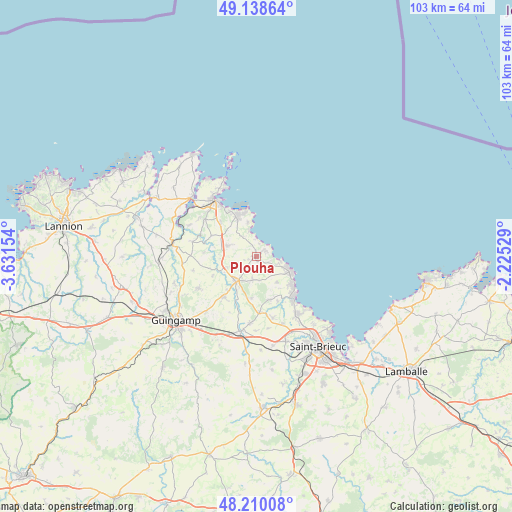
Plouha GPS coordinates[2]
48° 40' 35.4" North, 2° 55' 42.312" West
| Map corner | latitude | longitude |
|---|---|---|
| Upper-left | 49.13864°, | -3.63154° |
| Center: | 48.6765°, | -2.92842° |
| Lower-right: | 48.21008°, | -2.22529° |
| Map W x H: | 103.2×103.2 km | = 64.1×64.1mi |
| max Lat: | 51.07786° ⇑27.3% North |
| Plouha: | 48.6765° |
| min Lat: | ⇓72.7% South 41.3874° |
| min Long | Plouha | max Long |
| -5.08615° | -2.92842° | 9.52242° |
| W 2.9%⇐ | ⇒97.1% E |
Elevation
Elevation of Plouha is 97 m = 318 ft, and this is 96.7 m = 317 ft below average elevation for this country.
| Max E: |
2333 m = 7654 ft | 62% |
| Avg. | 193.7 m = 635 ft | |
| Plouha | 97 m = 318 ft | |
Min E: |
-1 m = -3 ft | 38% |
See also: France elevation on elevation.city.
Geographical zone
Plouha is located in North temperate zone (between Tropic of Cancer and the Arctic Circle). Distance of this North polar circle is 1988.9 km =1235.8 mi to North.| Distance of | km | miles | from Plouha |
|---|---|---|---|
| North Pole | 4594.7 | 2855 | to North |
| Arctic Circle | 1988.9 | 1235.8 | to North |
| Tropic Cancer | 2806.4 | 1743.8 | to South |
| Equator | 5412.3 | 3363 | to South |


Nearby cities:
15 places around Plouha: (largest is in red/bold)
• Binic
11.3 km =7 mi,  138°
138°
• Goudelin
10.4 km =6.5 mi,  219°
219°
• Kerfot
10 km =6.2 mi,  312°
312°
• Lantic
8.5 km =5.3 mi,  156°
156°
• Lanvollon
6.6 km =4.1 mi, 220°
• Plouézec
9.3 km =5.8 mi,  333°
333°
• Pléguien
4.7 km =2.9 mi,  190°
190°
• Pléhédel
6.3 km =3.9 mi,  290°
290°
• Saint-Quay-Portrieux
7.8 km =4.8 mi,  112°
112°
• Tressignaux
7.8 km =4.8 mi,  212°
212°
• Trégomeur
12.7 km =7.9 mi, 164°
• Tréguidel
8.4 km =5.2 mi, 187°
• Tréveneuc
4.5 km =2.8 mi, 106°
• Yvias
10 km =6.2 mi, 294°
• Étables-sur-Mer
8.5 km =5.3 mi,  124°
124°
Sources, notices
• [Note1] Compared only with cities in France existing in our database
• [Src1] Map data: © OpenStreetMap contributors (CC-BY-SA)
• [Src2] Other city data from geonames.org with taken over terms of usage.
• [Src3] Geographical zone / Annual Mean Temperature by Robert A. Rohde @ Wikipedia
