Parnac geodata
Parnac (Centre) is a populated place; located in France in Europe/Paris (GMT+2) time zone. With population of 566 people, there are 13895 cities with bigger population in this country. Compared to other cities in France, 60.5% of cities are located further ↑North; 63.7% of cities are located further →East and 73.3% of cities have lower elevation than Parnac. Note1
Administrative division(s):
- Level 1: Centre
- Level 2: Département de l'Indre
- Level 3: Le Blanc
- Level 4: Parnac


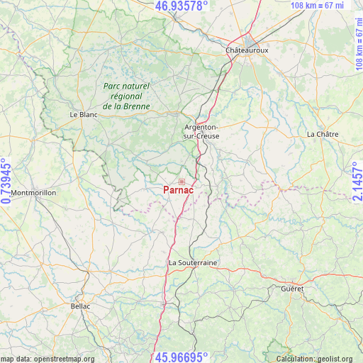
Parnac GPS coordinates[2]
46° 27' 12.672" North, 1° 26' 33.288" East
| Map corner | latitude | longitude |
|---|---|---|
| Upper-left | 46.93578°, | 0.73945° |
| Center: | 46.45352°, | 1.44258° |
| Lower-right: | 45.96695°, | 2.1457° |
| Map W x H: | 107.7×107.7 km | = 66.9×66.9mi |
| max Lat: | 51.07786° ⇑60.5% North |
| Parnac: | 46.45352° |
| min Lat: | ⇓39.5% South 41.3874° |
| min Long | Parnac | max Long |
| -5.08615° | 1.44258° | 9.52242° |
| W 36.3%⇐ | ⇒63.7% E |
Elevation
Elevation of Parnac is 238 m = 781 ft, and this is 44.3 m = 145 ft above average elevation for this country.
| Max E: |
2333 m = 7654 ft | 26.7% |
| Parnac | 238 m 781 ft | |
| Avg. | 193.7 m = 635 ft | |
Min E: |
-1 m = -3 ft | 73.3% |
See also: France elevation on elevation.city.
Geographical zone
Parnac is located in North temperate zone (between Tropic of Cancer and the Arctic Circle). Distance of this North polar circle is 2236 km =1389.4 mi to North.| Distance of | km | miles | from Parnac |
|---|---|---|---|
| North Pole | 4841.9 | 3008.6 | to North |
| Arctic Circle | 2236 | 1389.4 | to North |
| Tropic Cancer | 2559.2 | 1590.2 | to South |
| Equator | 5165.1 | 3209.4 | to South |


Nearby cities:
15 places around Parnac: (largest is in red/bold)
• Argenton-sur-Creuse
16.3 km =10.1 mi,  21°
21°
• Azerables
11.3 km =7 mi,  167°
167°
• Badecon-le-Pin
15.2 km =9.4 mi,  50°
50°
• Ceaulmont
12.8 km =8 mi, 52°
• Chaillac
11.2 km =7 mi,  258°
258°
• Chantôme
9.9 km =6.2 mi,  118°
118°
• Crozant
15.3 km =9.5 mi, 116°
• Cuzion
12.9 km =8 mi,  77°
77°
• La Châtre-Langlin
6.4 km =4 mi,  219°
219°
• Le Pêchereau
15.9 km =9.9 mi,  30°
30°
• Prissac
12 km =7.5 mi,  301°
301°
• Saint-Benoît-du-Sault
4.2 km =2.6 mi,  249°
249°
• Saint-Sulpice-les-Feuilles
16.1 km =10 mi,  200°
200°
• Saint-Sébastien
9.7 km =6 mi,  135°
135°
• Éguzon-Chantôme
10.8 km =6.7 mi,  92°
92°
Sources, notices
• [Note1] Compared only with cities in France existing in our database
• [Src1] Map data: © OpenStreetMap contributors (CC-BY-SA)
• [Src2] Other city data from geonames.org with taken over terms of usage.
• [Src3] Geographical zone / Annual Mean Temperature by Robert A. Rohde @ Wikipedia
