Montmeyran geodata
Montmeyran (Auvergne-Rhône-Alpes) is a populated place; located in France in Europe/Paris (GMT+2) time zone. With population of 2,849 people, there are 3423 cities with bigger population in this country. Compared to other cities in France, 81% of cities are located further ↑North; 77.4% of cities are located further ←West and 66.1% of cities have lower elevation than Montmeyran. Note1
Administrative division(s):
- Level 1: Auvergne-Rhône-Alpes
- Level 2: Département de la Drôme
- Level 3: Arrondissement de Valence
- Level 4: Montmeyran


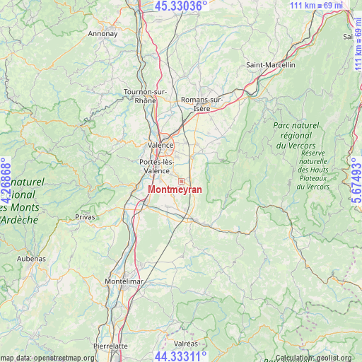
Montmeyran GPS coordinates[2]
44° 50' 2.004" North, 4° 58' 18.516" East
| Map corner | latitude | longitude |
|---|---|---|
| Upper-left | 45.33036°, | 4.26868° |
| Center: | 44.83389°, | 4.97181° |
| Lower-right: | 44.33311°, | 5.67493° |
| Map W x H: | 110.9×110.9 km | = 68.9×68.9mi |
| max Lat: | 51.07786° ⇑81% North |
| Montmeyran: | 44.83389° |
| min Lat: | ⇓19% South 41.3874° |
| min Long | Montmeyran | max Long |
| -5.08615° | 4.97181° | 9.52242° |
| W 77.4%⇐ | ⇒22.6% E |
Elevation
Elevation of Montmeyran is 199 m = 653 ft, and this is 5.3 m = 17 ft above average elevation for this country.
| Max E: |
2333 m = 7654 ft | 33.9% |
| Montmeyran | 199 m 653 ft | |
| Avg. | 193.7 m = 635 ft | |
Min E: |
-1 m = -3 ft | 66.1% |
See also: France elevation on elevation.city.
Geographical zone
Montmeyran is located in North temperate zone (between Tropic of Cancer and the Arctic Circle). Distance of this Northern Tropic circle is 2379.1 km =1478.3 mi to South.| Distance of | km | miles | from Montmeyran |
|---|---|---|---|
| North Pole | 5022 | 3120.5 | to North |
| Arctic Circle | 2416.1 | 1501.3 | to North |
| Tropic Cancer | 2379.1 | 1478.3 | to South |
| Equator | 4985.1 | 3097.6 | to South |


Nearby cities:
15 places around Montmeyran: (largest is in red/bold)
• Allex
9.4 km =5.8 mi,  218°
218°
• Beaumont-lès-Valence
3.9 km =2.4 mi,  324°
324°
• Beauvallon
5.6 km =3.5 mi,  295°
295°
• Chabeuil
7.9 km =4.9 mi,  25°
25°
• Charmes-sur-Rhône
11.3 km =7 mi,  287°
287°
• Eurre
8.5 km =5.3 mi,  171°
171°
• Malissard
7.5 km =4.7 mi,  349°
349°
• Montoison
4.8 km =3 mi,  209°
209°
• Montvendre
5.9 km =3.7 mi,  45°
45°
• Montéléger
3.5 km =2.2 mi,  306°
306°
• Portes-lès-Valence
9 km =5.6 mi, 301°
• Upie
3.5 km =2.2 mi, 173°
• Valence
11.3 km =7 mi,  334°
334°
• Vaunaveys-la-Rochette
8.9 km =5.5 mi,  147°
147°
• Étoile-sur-Rhône
6.4 km =4 mi,  274°
274°
Sources, notices
• [Note1] Compared only with cities in France existing in our database
• [Src1] Map data: © OpenStreetMap contributors (CC-BY-SA)
• [Src2] Other city data from geonames.org with taken over terms of usage.
• [Src3] Geographical zone / Annual Mean Temperature by Robert A. Rohde @ Wikipedia
