Kintzheim geodata
Kintzheim (Grand Est) is a populated place; located in France in Europe/Paris (GMT+2) time zone. With population of 1,587 people, there are 5882 cities with bigger population in this country. Compared to other cities in France, 63.8% of cities are located further ↓South; 97.2% of cities are located further ←West and 68% of cities have lower elevation than Kintzheim. Note1
Administrative division(s):
- Level 1: Grand Est
- Level 2: Bas-Rhin
- Level 3: Arrondissement de Sélestat-Erstein
- Level 4: Kintzheim


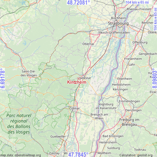
Kintzheim GPS coordinates[2]
48° 15' 17.28" North, 7° 23' 41.676" East
| Map corner | latitude | longitude |
|---|---|---|
| Upper-left | 48.72081°, | 6.69178° |
| Center: | 48.2548°, | 7.39491° |
| Lower-right: | 47.7845°, | 8.09803° |
| Map W x H: | 104.1×104.1 km | = 64.7×64.7mi |
| max Lat: | 51.07786° ⇑36.2% North |
| Kintzheim: | 48.2548° |
| min Lat: | ⇓63.8% South 41.3874° |
| min Long | Kintzheim | max Long |
| -5.08615° | 7.39491° | 9.52242° |
| W 97.2%⇐ | ⇒2.8% E |
Elevation
Elevation of Kintzheim is 209 m = 686 ft, and this is 15.3 m = 50 ft above average elevation for this country.
| Max E: |
2333 m = 7654 ft | 32% |
| Kintzheim | 209 m 686 ft | |
| Avg. | 193.7 m = 635 ft | |
Min E: |
-1 m = -3 ft | 68% |
See also: France elevation on elevation.city.
Geographical zone
Kintzheim is located in North temperate zone (between Tropic of Cancer and the Arctic Circle). Distance of this North polar circle is 2035.7 km =1264.9 mi to North.| Distance of | km | miles | from Kintzheim |
|---|---|---|---|
| North Pole | 4641.6 | 2884.2 | to North |
| Arctic Circle | 2035.7 | 1264.9 | to North |
| Tropic Cancer | 2759.5 | 1714.7 | to South |
| Equator | 5365.4 | 3333.9 | to South |


Nearby cities:
15 places around Kintzheim: (largest is in red/bold)
• Bergheim
6 km =3.7 mi,  203°
203°
• Châtenois
2 km =1.2 mi,  13°
13°
• Dambach-la-Ville
8 km =5 mi,  16°
16°
• Dieffenbach-au-Val
8.4 km =5.2 mi,  323°
323°
• Ebersheim
9.5 km =5.9 mi,  54°
54°
• Guémar
7.4 km =4.6 mi,  178°
178°
• Illhaeusern
8.3 km =5.2 mi,  160°
160°
• Lièpvre
8.5 km =5.3 mi,  282°
282°
• Neubois
7 km =4.3 mi, 324°
• Orschwiller
1.7 km =1.1 mi,  207°
207°
• Ribeauvillé
8.7 km =5.4 mi,  220°
220°
• Saint-Hippolyte
3.1 km =1.9 mi, 214°
• Saint-Pierre-Bois
8.6 km =5.3 mi,  344°
344°
• Scherwiller
4.1 km =2.5 mi,  28°
28°
• Sélestat
4.1 km =2.5 mi,  78°
78°
Sources, notices
• [Note1] Compared only with cities in France existing in our database
• [Src1] Map data: © OpenStreetMap contributors (CC-BY-SA)
• [Src2] Other city data from geonames.org with taken over terms of usage.
• [Src3] Geographical zone / Annual Mean Temperature by Robert A. Rohde @ Wikipedia
