Gy-en-Sologne geodata
Gy-en-Sologne (Centre) is a populated place; located in France in Europe/Paris (GMT+2) time zone. With population of 516 people, there are 14910 cities with bigger population in this country. Compared to other cities in France, 50.8% of cities are located further ↑North; 62% of cities are located further →East and 67% of cities have higher elevation than Gy-en-Sologne. Note1
Administrative division(s):
- Level 1: Centre
- Level 2: Département du Loir-et-Cher
- Level 3: Arrondissement de Romorantin-Lanthenay
- Level 4: Gy-en-Sologne


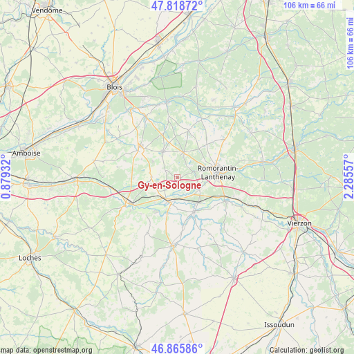
Gy-en-Sologne GPS coordinates[2]
47° 20' 39.984" North, 1° 34' 56.784" East
| Map corner | latitude | longitude |
|---|---|---|
| Upper-left | 47.81872°, | 0.87932° |
| Center: | 47.34444°, | 1.58244° |
| Lower-right: | 46.86586°, | 2.28557° |
| Map W x H: | 105.9×105.9 km | = 65.8×65.8mi |
| max Lat: | 51.07786° ⇑50.8% North |
| Gy-en-Sologne: | 47.34444° |
| min Lat: | ⇓49.2% South 41.3874° |
| min Long | Gy-en-Sologne | max Long |
| -5.08615° | 1.58244° | 9.52242° |
| W 38%⇐ | ⇒62% E |
Elevation
Elevation of Gy-en-Sologne is 85 m = 279 ft, and this is 108.7 m = 357 ft below average elevation for this country.
| Max E: |
2333 m = 7654 ft | 67% |
| Avg. | 193.7 m = 635 ft | |
| Gy-en-Sologne | 85 m = 279 ft | |
Min E: |
-1 m = -3 ft | 33% |
See also: France elevation on elevation.city.
Geographical zone
Gy-en-Sologne is located in North temperate zone (between Tropic of Cancer and the Arctic Circle). Distance of this North polar circle is 2137 km =1327.9 mi to North.| Distance of | km | miles | from Gy-en-Sologne |
|---|---|---|---|
| North Pole | 4742.9 | 2947.1 | to North |
| Arctic Circle | 2137 | 1327.9 | to North |
| Tropic Cancer | 2658.3 | 1651.8 | to South |
| Equator | 5264.2 | 3271 | to South |


Nearby cities:
15 places around Gy-en-Sologne: (largest is in red/bold)
• Billy
4.8 km =3 mi,  222°
222°
• Chabris
11.4 km =7.1 mi,  152°
152°
• Châtillon-sur-Cher
10.1 km =6.3 mi, 221°
• Chémery
7.8 km =4.8 mi,  271°
271°
• Couddes
13.6 km =8.5 mi,  279°
279°
• Gièvres
9.8 km =6.1 mi,  138°
138°
• La Vernelle
11.1 km =6.9 mi,  195°
195°
• Meusnes
12.4 km =7.7 mi,  211°
211°
• Mur-de-Sologne
7.8 km =4.8 mi,  14°
14°
• Pruniers-en-Sologne
7.1 km =4.4 mi,  115°
115°
• Romorantin-Lanthenay
12.9 km =8 mi,  78°
78°
• Saint-Romain-sur-Cher
14.1 km =8.8 mi,  258°
258°
• Sassay
12 km =7.5 mi,  297°
297°
• Selles-sur-Cher
7.6 km =4.7 mi, 196°
• Soings-en-Sologne
8.8 km =5.5 mi,  330°
330°
Sources, notices
• [Note1] Compared only with cities in France existing in our database
• [Src1] Map data: © OpenStreetMap contributors (CC-BY-SA)
• [Src2] Other city data from geonames.org with taken over terms of usage.
• [Src3] Geographical zone / Annual Mean Temperature by Robert A. Rohde @ Wikipedia
