Germond-Rouvre geodata
Germond-Rouvre (Nouvelle-Aquitaine) is a populated place; located in France in Europe/Paris (GMT+2) time zone. With population of 925 people, there are 9431 cities with bigger population in this country. Compared to other cities in France, 60.5% of cities are located further ↑North; 82.4% of cities are located further →East and 70.1% of cities have higher elevation than Germond-Rouvre. Note1
Administrative division(s):
- Level 1: Nouvelle-Aquitaine
- Level 2: Département des Deux-Sèvres
- Level 3: Arrondissement de Niort
- Level 4: Germond-Rouvre


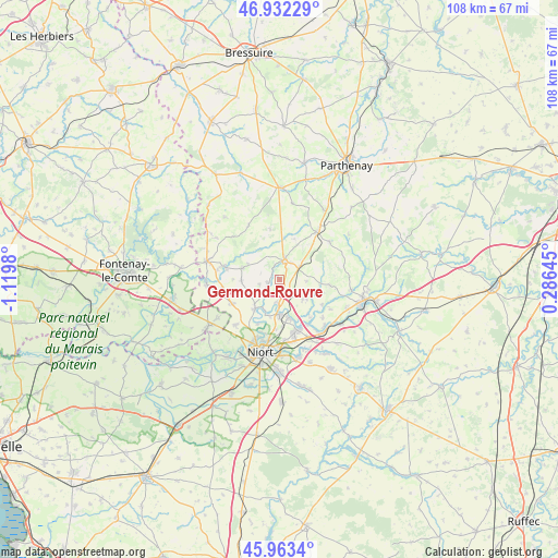
Germond-Rouvre GPS coordinates[2]
46° 27' 0" North, 0° 25' 0.012" West
| Map corner | latitude | longitude |
|---|---|---|
| Upper-left | 46.93229°, | -1.1198° |
| Center: | 46.45°, | -0.41667° |
| Lower-right: | 45.9634°, | 0.28645° |
| Map W x H: | 107.7×107.7 km | = 66.9×66.9mi |
| max Lat: | 51.07786° ⇑60.5% North |
| Germond-Rouvre: | 46.45° |
| min Lat: | ⇓39.5% South 41.3874° |
| min Long | Germond-Rouvre | max Long |
| -5.08615° | -0.41667° | 9.52242° |
| W 17.6%⇐ | ⇒82.4% E |
Elevation
Elevation of Germond-Rouvre is 78 m = 256 ft, and this is 115.7 m = 380 ft below average elevation for this country.
| Max E: |
2333 m = 7654 ft | 70.1% |
| Avg. | 193.7 m = 635 ft | |
| Germond-Rouvre | 78 m = 256 ft | |
Min E: |
-1 m = -3 ft | 29.9% |
See also: France elevation on elevation.city.
Geographical zone
Germond-Rouvre is located in North temperate zone (between Tropic of Cancer and the Arctic Circle). Distance of this North polar circle is 2236.4 km =1389.6 mi to North.| Distance of | km | miles | from Germond-Rouvre |
|---|---|---|---|
| North Pole | 4842.3 | 3008.9 | to North |
| Arctic Circle | 2236.4 | 1389.6 | to North |
| Tropic Cancer | 2558.8 | 1590 | to South |
| Equator | 5164.8 | 3209.3 | to South |


Nearby cities:
15 places around Germond-Rouvre: (largest is in red/bold)
• Ardin
11.1 km =6.9 mi,  283°
283°
• Augé
9.9 km =6.2 mi,  96°
96°
• Béceleuf
7.3 km =4.5 mi,  288°
288°
• Champdeniers-Saint-Denis
3.9 km =2.4 mi,  19°
19°
• Chauray
10.4 km =6.5 mi,  163°
163°
• Cherveux
5.9 km =3.7 mi,  130°
130°
• François
10.3 km =6.4 mi,  148°
148°
• Mazières-en-Gâtine
11.7 km =7.3 mi,  38°
38°
• Saint-Gelais
7.7 km =4.8 mi, 164°
• Saint-Maxire
7.3 km =4.5 mi,  220°
220°
• Sainte-Ouenne
2.3 km =1.4 mi,  253°
253°
• Sciecq
9.5 km =5.9 mi,  205°
205°
• Surin
3.8 km =2.4 mi, 288°
• Villiers-en-Plaine
10.3 km =6.4 mi,  243°
243°
• Échiré
6.7 km =4.2 mi,  179°
179°
Sources, notices
• [Note1] Compared only with cities in France existing in our database
• [Src1] Map data: © OpenStreetMap contributors (CC-BY-SA)
• [Src2] Other city data from geonames.org with taken over terms of usage.
• [Src3] Geographical zone / Annual Mean Temperature by Robert A. Rohde @ Wikipedia
