Step’antsminda geodata
Step’antsminda (Mtskheta-Mtianeti) is a populated place; located in Georgia in Asia/Tbilisi (GMT+4) time zone. With population of 2,628 people, there are 78 cities with bigger population in this country. Compared to other cities in Georgia, 85.5% of cities are located further ↓South; 80.3% of cities are located further ←West and 96.6% of cities have lower elevation than Step’antsminda. Note1


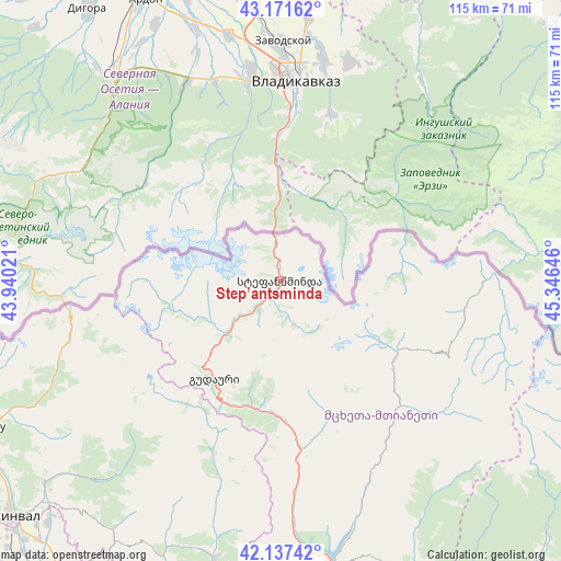
Step’antsminda GPS coordinates[2]
42° 39' 24.012" North, 44° 38' 35.988" East
| Map corner | latitude | longitude |
|---|---|---|
| Upper-left | 43.17162°, | 43.94021° |
| Center: | 42.65667°, | 44.64333° |
| Lower-right: | 42.13742°, | 45.34646° |
| Map W x H: | 115×115 km | = 71.5×71.5mi |
| max Lat: | 43.38111° ⇑14.5% North |
| Step’antsminda: | 42.65667° |
| min Lat: | ⇓85.5% South 41.21725° |
| min Long | Step’antsmind | max Long |
| 40.07944° | 44.64333° | 46.27667° |
| W 80.3%⇐ | ⇒19.7% E |
Elevation
Elevation of Step’antsminda is 1767 m = 5797 ft, and this is 1188.2 m = 3898 ft above average elevation for this country.
| Max E: |
2223 m = 7293 ft | 3.4% |
| Step’antsminda | 1767 m 5797 ft | |
| Avg. | 578.8 m = 1899 ft | |
Min E: |
1 m = 3 ft | 96.6% |
See also: Georgia elevation on elevation.city.
Geographical zone
Step’antsminda is located in North temperate zone (between Tropic of Cancer and the Arctic Circle). Distance of this Northern Tropic circle is 2137.1 km =1327.9 mi to South.| Distance of | km | miles | from Step’antsminda |
|---|---|---|---|
| North Pole | 5264.1 | 3271 | to North |
| Arctic Circle | 2658.2 | 1651.7 | to North |
| Tropic Cancer | 2137.1 | 1327.9 | to South |
| Equator | 4743 | 2947.2 | to South |


Nearby cities:
15 places around Step’antsminda: (largest is in red/bold)
• Akhalgori
60.5 km =37.6 mi,  192°
192°
• Akhmet’a
83.6 km =51.9 mi,  146°
146°
• Gori
86.4 km =53.7 mi,  210°
210°
• Gudauri
24.1 km =15 mi, 214°
• Java
64.6 km =40.1 mi,  243°
243°
• Kaspi
83.3 km =51.8 mi, 192°
• Khet’agurovi
79.2 km =49.2 mi,  231°
231°
• P’asanauri
34.2 km =21.3 mi,  173°
173°
• Samt’avisi
74.7 km =46.4 mi, 194°
• Sioni
7.2 km =4.5 mi,  221°
221°
• Tbeti
76.4 km =47.5 mi, 231°
• Ts’khinvali
73.1 km =45.4 mi, 229°
• T’ianet’i
66.4 km =41.3 mi,  156°
156°
• Uplistsikhe
86.1 km =53.5 mi, 206°
• Zhinvali
59.3 km =36.8 mi, 169°
Sources, notices
• [Note1] Compared only with cities in Georgia existing in our database
• [Src1] Map data: © OpenStreetMap contributors (CC-BY-SA)
• [Src2] Other city data from geonames.org with taken over terms of usage.
• [Src3] Geographical zone / Annual Mean Temperature by Robert A. Rohde @ Wikipedia
