Stoúpa geodata
Stoúpa (Peloponnese) is a populated place; located in Greece in Europe/Athens (GMT+3) time zone. With population of 600 people, there are 1580 cities with bigger population in this country. Compared to other cities in Greece, 91% of cities are located further ↑North; 66.1% of cities are located further →East and 89.2% of cities have higher elevation than Stoúpa. Note1


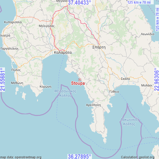
Stoúpa GPS coordinates[2]
36° 50' 37.356" North, 22° 15' 35.748" East
| Map corner | latitude | longitude |
|---|---|---|
| Upper-left | 37.40433°, | 21.55681° |
| Center: | 36.84371°, | 22.25993° |
| Lower-right: | 36.27895°, | 22.96306° |
| Map W x H: | 125.1×125.1 km | = 77.7×77.7mi |
| max Lat: | 41.72048° ⇑91% North |
| Stoúpa: | 36.84371° |
| min Lat: | ⇓9% South 34.8346° |
| min Long | Stoúpa | max Long |
| 19.40494° | 22.25993° | 29.59361° |
| W 33.9%⇐ | ⇒66.1% E |
Elevation
Elevation of Stoúpa is 9 m = 30 ft, and this is 159.9 m = 525 ft below average elevation for this country.
| Max E: |
1439 m = 4721 ft | 89.2% |
| Avg. | 168.9 m = 554 ft | |
| Stoúpa | 9 m = 30 ft | |
Min E: |
0 m = 0 ft | 10.8% |
See also: Greece elevation on elevation.city.
Geographical zone
Stoúpa is located in North temperate zone (between Tropic of Cancer and the Arctic Circle). Distance of this Northern Tropic circle is 1490.7 km =926.3 mi to South.| Distance of | km | miles | from Stoúpa |
|---|---|---|---|
| North Pole | 5910.4 | 3672.6 | to North |
| Arctic Circle | 3304.5 | 2053.3 | to North |
| Tropic Cancer | 1490.7 | 926.3 | to South |
| Equator | 4096.6 | 2545.5 | to South |


Nearby cities:
15 places around Stoúpa: (largest is in red/bold)
• Areópoli
22.5 km =14 mi,  151°
151°
• Asprókhoma
28 km =17.4 mi,  324°
324°
• Gýtheio
28.8 km =17.9 mi,  110°
110°
• Kalamata
25.4 km =15.8 mi,  328°
328°
• Kardamýli
5.4 km =3.4 mi, 334°
• Koróni
27.4 km =17 mi,  258°
258°
• Krokeés
25.9 km =16.1 mi,  80°
80°
• Laíika
28.3 km =17.6 mi, 329°
• Longá
31.6 km =19.6 mi,  275°
275°
• Magoúla
29.3 km =18.2 mi,  26°
26°
• Mikrá Mantíneia
18.4 km =11.4 mi, 329°
• Paralía Vérgas
20.3 km =12.6 mi, 333°
• Sperchógeia
31 km =19.3 mi, 325°
• Spárti
29.8 km =18.5 mi, 30°
• Xirokámbion
21.4 km =13.3 mi,  53°
53°
Sources, notices
• [Note1] Compared only with cities in Greece existing in our database
• [Src1] Map data: © OpenStreetMap contributors (CC-BY-SA)
• [Src2] Other city data from geonames.org with taken over terms of usage.
• [Src3] Geographical zone / Annual Mean Temperature by Robert A. Rohde @ Wikipedia
