San Pablo geodata
San Pablo (San Marcos) is a seat of a second-order administrative division; located in Guatemala in America/Guatemala (GMT-6) time zone. With population of 13,668 people, there are 91 cities with bigger population in this country. Compared to other cities in Guatemala, 60.5% of cities are located further ↓South; 97.3% of cities are located further →East and 69.9% of cities have higher elevation than San Pablo. Note1


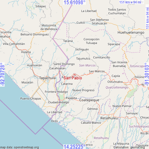
San Pablo GPS coordinates[2]
14° 55' 57.684" North, 92° 0' 14.94" West
| Map corner | latitude | longitude |
|---|---|---|
| Upper-left | 15.61098°, | -92.70728° |
| Center: | 14.93269°, | -92.00415° |
| Lower-right: | 14.25225°, | -91.30103° |
| Map W x H: | 151.1×151.1 km | = 93.9×93.9mi |
| max Lat: | 17.06606° ⇑39.5% North |
| San Pablo: | 14.93269° |
| min Lat: | ⇓60.5% South 13.9274° |
| min Long | San Pablo | max Long |
| -92.19298° | -92.00415° | -88.59444° |
| W 2.7%⇐ | ⇒97.3% E |
Elevation
Elevation of San Pablo is 617 m = 2024 ft, and this is 650 m = 2133 ft below average elevation for this country.
| Max E: |
3254 m = 10676 ft | 69.9% |
| Avg. | 1267 m = 4157 ft | |
| San Pablo | 617 m = 2024 ft | |
Min E: |
1 m = 3 ft | 30.1% |
See also: Guatemala elevation on elevation.city.
Geographical zone
San Pablo is located in North Torrid zone (between Equator and Tropic of Cancer). Distance of this Northern Tropic circle is 945.6 km =587.6 mi to North.| Distance of | km | miles | from San Pablo |
|---|---|---|---|
| North Pole | 8346.7 | 5186.4 | to North |
| Arctic Circle | 5740.8 | 3567.2 | to North |
| Tropic Cancer | 945.6 | 587.6 | to North |
| Equator | 1660.4 | 1031.7 | to South |


Nearby cities:
15 places around San Pablo: (largest is in red/bold)
• Catarina
11.8 km =7.3 mi,  221°
221°
• El Rodeo
3.6 km =2.2 mi,  124°
124°
• El Tumbador
10.7 km =6.6 mi,  135°
135°
• Esquipulas Palo Gordo
19.2 km =11.9 mi,  87°
87°
• Ixchiguán
26.8 km =16.7 mi,  16°
16°
• La Reforma
24.4 km =15.2 mi,  126°
126°
• Malacatán
6.2 km =3.9 mi,  247°
247°
• Nuevo Progreso
18.1 km =11.2 mi,  149°
149°
• Pajapita
23.7 km =14.7 mi,  188°
188°
• San Cristóbal Cucho
24.1 km =15 mi,  97°
97°
• San Marcos
22.8 km =14.2 mi,  81°
81°
• San Pedro Sacatepéquez
26.3 km =16.3 mi, 81°
• San Rafael Pie de la Cuesta
9.7 km =6 mi, 91°
• Sibinal
24.6 km =15.3 mi,  348°
348°
• Tajumulco
18.9 km =11.7 mi,  27°
27°
Sources, notices
• [Note1] Compared only with cities in Guatemala existing in our database
• [Src1] Map data: © OpenStreetMap contributors (CC-BY-SA)
• [Src2] Other city data from geonames.org with taken over terms of usage.
• [Src3] Geographical zone / Annual Mean Temperature by Robert A. Rohde @ Wikipedia
