Inárcs geodata
Inárcs (Pest) is a populated place; located in Hungary in Europe/Budapest (GMT+2) time zone. With population of 4,262 people, there are 351 cities with bigger population in this country. Compared to other cities in Hungary, 58.8% of cities are located further ↑North; 53.7% of cities are located further →East and 52.5% of cities have higher elevation than Inárcs. Note1


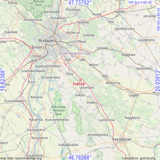
Inárcs GPS coordinates[2]
47° 15' 43.2" North, 19° 19' 37.2" East
| Map corner | latitude | longitude |
|---|---|---|
| Upper-left | 47.73702°, | 18.62388° |
| Center: | 47.262°, | 19.327° |
| Lower-right: | 46.78268°, | 20.03013° |
| Map W x H: | 106.1×106.1 km | = 65.9×65.9mi |
| max Lat: | 48.46667° ⇑58.8% North |
| Inárcs: | 47.262° |
| min Lat: | ⇓41.2% South 45.79108° |
| min Long | Inárcs | max Long |
| 16.27358° | 19.327° | 22.68096° |
| W 46.3%⇐ | ⇒53.7% E |
Elevation
Elevation of Inárcs is 114 m = 374 ft, and this is 15.7 m = 52 ft below average elevation for this country.
| Max E: |
444 m = 1457 ft | 52.5% |
| Avg. | 129.7 m = 426 ft | |
| Inárcs | 114 m = 374 ft | |
Min E: |
71 m = 233 ft | 47.5% |
See also: Hungary elevation on elevation.city.
Geographical zone
Inárcs is located in North temperate zone (between Tropic of Cancer and the Arctic Circle). Distance of this North polar circle is 2146.1 km =1333.5 mi to North.| Distance of | km | miles | from Inárcs |
|---|---|---|---|
| North Pole | 4752 | 2952.8 | to North |
| Arctic Circle | 2146.1 | 1333.5 | to North |
| Tropic Cancer | 2649.1 | 1646.1 | to South |
| Equator | 5255 | 3265.3 | to South |


Nearby cities:
15 places around Inárcs: (largest is in red/bold)
• Alsónémedi
14 km =8.7 mi,  294°
294°
• Bugyi
14.1 km =8.8 mi,  254°
254°
• Dabas
8.5 km =5.3 mi,  188°
188°
• Felsőpakony
11.3 km =7 mi,  323°
323°
• Gyál
15.8 km =9.8 mi,  329°
329°
• Hernád
13.7 km =8.5 mi,  144°
144°
• Kakucs
3.6 km =2.2 mi,  128°
128°
• Monor
13.5 km =8.4 mi,  42°
42°
• Nyáregyháza
13.2 km =8.2 mi,  90°
90°
• Péteri
15.6 km =9.7 mi,  23°
23°
• Vecsés
16.4 km =10.2 mi,  349°
349°
• Ócsa
8.4 km =5.2 mi,  300°
300°
• Örkény
16.7 km =10.4 mi,  151°
151°
• Újhartyán
6.5 km =4 mi, 136°
• Üllő
14.1 km =8.8 mi,  8°
8°
Sources, notices
• [Note1] Compared only with cities in Hungary existing in our database
• [Src1] Map data: © OpenStreetMap contributors (CC-BY-SA)
• [Src2] Other city data from geonames.org with taken over terms of usage.
• [Src3] Geographical zone / Annual Mean Temperature by Robert A. Rohde @ Wikipedia
