Wahai geodata
Wahai (Maluku) is a seat of a third-order administrative division; located in Indonesia in Asia/Jayapura (GMT+9) time zone. In our database, there are 407 cities with bigger population. Compared to other cities in Indonesia, 91.7% of cities are located further ↓South; 98.7% of cities are located further ←West and 99.8% of cities have higher elevation than Wahai. Note1


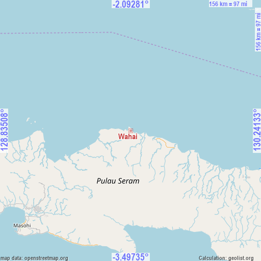
Wahai GPS coordinates[2]
2° 47' 43.044" South, 129° 32' 17.52" East
| Map corner | latitude | longitude |
|---|---|---|
| Upper-left | -2.09281°, | 128.83508° |
| Center: | -2.79529°, | 129.5382° |
| Lower-right: | -3.49735°, | 130.24133° |
| Map W x H: | 156.2×156.2 km | = 97.1×97.1mi |
| max Lat: | 5.88969° ⇑8.3% North |
| Wahai: | -2.79529° |
| min Lat: | ⇓91.7% South -10.934° |
| min Long | Wahai | max Long |
| 95.1345° | 129.5382° | 140.9419° |
| W 98.7%⇐ | ⇒1.3% E |
Elevation
Elevation of Wahai is 1 m = 3 ft, and this is 228.7 m = 750 ft below average elevation for this country.
| Max E: |
3185 m = 10449 ft | 99.8% |
| Avg. | 229.7 m = 754 ft | |
| Wahai | 1 m = 3 ft | |
Min E: |
-1 m = -3 ft | 0.2% |
See also: Indonesia elevation on elevation.city.
Geographical zone
Wahai is located in South Torrid zone (between Equator and Tropic of Capricorn). Distance of Equator is 310.8 km =193.1 mi to North.| Distance of | km | miles | from Wahai |
|---|---|---|---|
| Equator | 310.8 | 193.1 | to North |
| Tropic Capricorn | 2295.1 | 1426.1 | to South |
| Antarctic Circle | 7090.4 | 4405.8 | to South |
| South Pole | 9696.3 | 6025 | to South |


Nearby cities:
15 places around Wahai: (largest is in red/bold)
• Amahai
91.5 km =56.9 mi,  228°
228°
• Ambon
180.7 km =112.3 mi,  236°
236°
• Bula
111.9 km =69.5 mi,  108°
108°
• Kairatu
143.8 km =89.4 mi, 244°
• Masohi
84.4 km =52.4 mi, 228°
• Passo
170.3 km =105.8 mi, 236°
• Pelau
143.6 km =89.2 mi, 235°
• Piru
152.1 km =94.5 mi,  258°
258°
• Saparua
130.9 km =81.3 mi, 228°
• Taniwel
118 km =73.3 mi,  266°
266°
• Tehoru
72 km =44.7 mi,  179°
179°
• Tulehu
160.8 km =99.9 mi, 236°
• Waigama
111.5 km =69.3 mi,  16°
16°
• Waipia
82.9 km =51.5 mi, 238°
• Werinama
101.1 km =62.8 mi,  141°
141°
Sources, notices
• [Note1] Compared only with cities in Indonesia existing in our database
• [Src1] Map data: © OpenStreetMap contributors (CC-BY-SA)
• [Src2] Other city data from geonames.org with taken over terms of usage.
• [Src3] Geographical zone / Annual Mean Temperature by Robert A. Rohde @ Wikipedia
