Werinama geodata
Werinama (Maluku) is a seat of a third-order administrative division; located in Indonesia in Asia/Jayapura (GMT+9) time zone. In our database, there are 407 cities with bigger population. Compared to other cities in Indonesia, 90.3% of cities are located further ↓South; 98.7% of cities are located further ←West and 62.4% of cities have higher elevation than Werinama. Note1


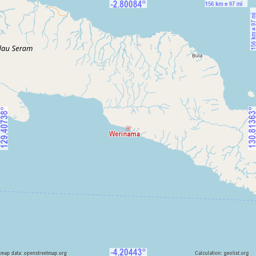
Werinama GPS coordinates[2]
3° 30' 10.44" South, 130° 6' 37.8" East
| Map corner | latitude | longitude |
|---|---|---|
| Upper-left | -2.80084°, | 129.40738° |
| Center: | -3.5029°, | 130.1105° |
| Lower-right: | -4.20443°, | 130.81363° |
| Map W x H: | 156.1×156.1 km | = 97×97mi |
| max Lat: | 5.88969° ⇑9.7% North |
| Werinama: | -3.5029° |
| min Lat: | ⇓90.3% South -10.934° |
| min Long | Werinama | max Long |
| 95.1345° | 130.1105° | 140.9419° |
| W 98.7%⇐ | ⇒1.3% E |
Elevation
Elevation of Werinama is 50 m = 164 ft, and this is 179.7 m = 590 ft below average elevation for this country.
| Max E: |
3185 m = 10449 ft | 62.4% |
| Avg. | 229.7 m = 754 ft | |
| Werinama | 50 m = 164 ft | |
Min E: |
-1 m = -3 ft | 37.6% |
See also: Indonesia elevation on elevation.city.
Geographical zone
Werinama is located in South Torrid zone (between Equator and Tropic of Capricorn). Distance of Equator is 389.5 km =242 mi to North.| Distance of | km | miles | from Werinama |
|---|---|---|---|
| Equator | 389.5 | 242 | to North |
| Tropic Capricorn | 2216.4 | 1377.2 | to South |
| Antarctic Circle | 7011.7 | 4356.9 | to South |
| South Pole | 9617.6 | 5976.1 | to South |


Nearby cities:
15 places around Werinama: (largest is in red/bold)
• Amahai
133.4 km =82.9 mi,  277°
277°
• Ambon
214.9 km =133.5 mi,  264°
264°
• Bula
61 km =37.9 mi,  44°
44°
• Geser
99.4 km =61.8 mi,  114°
114°
• Kairatu
194.1 km =120.6 mi,  274°
274°
• Masohi
128.7 km =80 mi, 280°
• Passo
206.7 km =128.4 mi, 266°
• Pelau
182.3 km =113.3 mi, 269°
• Saparua
162 km =100.7 mi, 267°
• Taniwel
195.2 km =121.3 mi,  291°
291°
• Tehoru
63.3 km =39.3 mi, 276°
• Tulehu
198.1 km =123.1 mi, 267°
• Wahai
101.1 km =62.8 mi,  321°
321°
• Waigama
187.9 km =116.8 mi,  350°
350°
• Waipia
138.5 km =86.1 mi, 284°
Sources, notices
• [Note1] Compared only with cities in Indonesia existing in our database
• [Src1] Map data: © OpenStreetMap contributors (CC-BY-SA)
• [Src2] Other city data from geonames.org with taken over terms of usage.
• [Src3] Geographical zone / Annual Mean Temperature by Robert A. Rohde @ Wikipedia
