Bula geodata
Bula (Maluku) is a seat of a second-order administrative division; located in Indonesia in Asia/Jayapura (GMT+9) time zone. In our database, there are 407 cities with bigger population. Compared to other cities in Indonesia, 91% of cities are located further ↓South; 98.7% of cities are located further ←West and 69.5% of cities have higher elevation than Bula. Note1


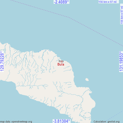
Bula GPS coordinates[2]
3° 6' 40.32" South, 130° 29' 43.44" East
| Map corner | latitude | longitude |
|---|---|---|
| Upper-left | -2.4089°, | 129.79228° |
| Center: | -3.1112°, | 130.4954° |
| Lower-right: | -3.81304°, | 131.19853° |
| Map W x H: | 156.1×156.1 km | = 97×97mi |
| max Lat: | 5.88969° ⇑9% North |
| Bula: | -3.1112° |
| min Lat: | ⇓91% South -10.934° |
| min Long | Bula | max Long |
| 95.1345° | 130.4954° | 140.9419° |
| W 98.7%⇐ | ⇒1.3% E |
Elevation
Elevation of Bula is 33 m = 108 ft, and this is 196.7 m = 645 ft below average elevation for this country.
| Max E: |
3185 m = 10449 ft | 69.5% |
| Avg. | 229.7 m = 754 ft | |
| Bula | 33 m = 108 ft | |
Min E: |
-1 m = -3 ft | 30.5% |
See also: Indonesia elevation on elevation.city.
Geographical zone
Bula is located in South Torrid zone (between Equator and Tropic of Capricorn). Distance of Equator is 345.9 km =214.9 mi to North.| Distance of | km | miles | from Bula |
|---|---|---|---|
| Equator | 345.9 | 214.9 | to North |
| Tropic Capricorn | 2260 | 1404.3 | to South |
| Antarctic Circle | 7055.2 | 4383.9 | to South |
| South Pole | 9661.1 | 6003.1 | to South |


Nearby cities:
15 places around Bula: (largest is in red/bold)
• Amahai
176.8 km =109.9 mi,  261°
261°
• Dulanpokpok
198.3 km =123.2 mi,  84°
84°
• Fakfak
201.2 km =125 mi, 84°
• Geser
97.2 km =60.4 mi,  150°
150°
• Kramongmongga
212.9 km =132.3 mi, 79°
• Masohi
170.7 km =106.1 mi, 263°
• Patipi Pasir
186.6 km =115.9 mi, 76°
• Raduria
205.1 km =127.4 mi, 84°
• Saparua
210.9 km =131 mi, 255°
• Seget
196.3 km =122 mi,  15°
15°
• Tehoru
111.9 km =69.5 mi,  250°
250°
• Wahai
111.9 km =69.5 mi,  288°
288°
• Waigama
159.8 km =99.3 mi,  332°
332°
• Waipia
177 km =110 mi,  267°
267°
• Werinama
61 km =37.9 mi,  224°
224°
Sources, notices
• [Note1] Compared only with cities in Indonesia existing in our database
• [Src1] Map data: © OpenStreetMap contributors (CC-BY-SA)
• [Src2] Other city data from geonames.org with taken over terms of usage.
• [Src3] Geographical zone / Annual Mean Temperature by Robert A. Rohde @ Wikipedia
