Waigama geodata
Waigama (West Papua) is a seat of a third-order administrative division; located in Indonesia in Asia/Jayapura (GMT+9) time zone. In our database, there are 407 cities with bigger population. Compared to other cities in Indonesia, 93.1% of cities are located further ↓South; 98.7% of cities are located further ←West and 78.9% of cities have higher elevation than Waigama. Note1


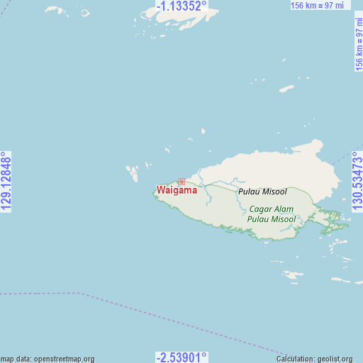
Waigama GPS coordinates[2]
1° 50' 11.04" South, 129° 49' 53.76" East
| Map corner | latitude | longitude |
|---|---|---|
| Upper-left | -1.13352°, | 129.12848° |
| Center: | -1.8364°, | 129.8316° |
| Lower-right: | -2.53901°, | 130.53473° |
| Map W x H: | 156.3×156.3 km | = 97.1×97.1mi |
| max Lat: | 5.88969° ⇑6.9% North |
| Waigama: | -1.8364° |
| min Lat: | ⇓93.1% South -10.934° |
| min Long | Waigama | max Long |
| 95.1345° | 129.8316° | 140.9419° |
| W 98.7%⇐ | ⇒1.3% E |
Elevation
Elevation of Waigama is 20 m = 66 ft, and this is 209.7 m = 688 ft below average elevation for this country.
| Max E: |
3185 m = 10449 ft | 78.9% |
| Avg. | 229.7 m = 754 ft | |
| Waigama | 20 m = 66 ft | |
Min E: |
-1 m = -3 ft | 21.1% |
See also: Indonesia elevation on elevation.city.
Geographical zone
Waigama is located in South Torrid zone (between Equator and Tropic of Capricorn). Distance of Equator is 204.2 km =126.9 mi to North.| Distance of | km | miles | from Waigama |
|---|---|---|---|
| Equator | 204.2 | 126.9 | to North |
| Tropic Capricorn | 2401.7 | 1492.3 | to South |
| Antarctic Circle | 7197 | 4472 | to South |
| South Pole | 9802.9 | 6091.2 | to South |


Nearby cities:
15 places around Waigama: (largest is in red/bold)
• Aimas
193.7 km =120.4 mi,  59°
59°
• Amahai
195.5 km =121.5 mi,  211°
211°
• Bula
159.8 km =99.3 mi,  152°
152°
• Doom
188.5 km =117.1 mi, 55°
• Masohi
188.7 km =117.3 mi, 210°
• Saonek
186.4 km =115.8 mi,  33°
33°
• Seget
135.5 km =84.2 mi,  69°
69°
• Sorong
191.2 km =118.8 mi, 56°
• Taniwel
188.2 km =116.9 mi,  233°
233°
• Tehoru
181.5 km =112.8 mi,  190°
190°
• Wahai
111.5 km =69.3 mi,  196°
196°
• Waipia
182.3 km =113.3 mi, 214°
• Waisai
193 km =119.9 mi,  22°
22°
• Wanurian
203.7 km =126.6 mi, 71°
• Werinama
187.9 km =116.8 mi,  170°
170°
Sources, notices
• [Note1] Compared only with cities in Indonesia existing in our database
• [Src1] Map data: © OpenStreetMap contributors (CC-BY-SA)
• [Src2] Other city data from geonames.org with taken over terms of usage.
• [Src3] Geographical zone / Annual Mean Temperature by Robert A. Rohde @ Wikipedia
