Namrole geodata
Namrole (Maluku) is a seat of a second-order administrative division; located in Indonesia in Asia/Jayapura (GMT+9) time zone. In our database, there are 407 cities with bigger population. Compared to other cities in Indonesia, 89.7% of cities are located further ↓South; 98.2% of cities are located further ←West and 86.4% of cities have higher elevation than Namrole. Note1


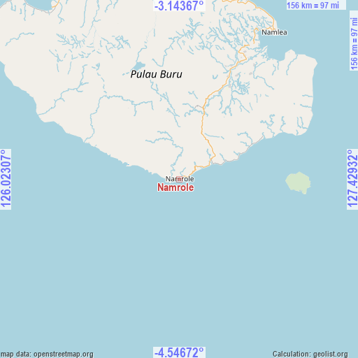
Namrole GPS coordinates[2]
3° 50' 43.728" South, 126° 43' 34.284" East
| Map corner | latitude | longitude |
|---|---|---|
| Upper-left | -3.14367°, | 126.02307° |
| Center: | -3.84548°, | 126.72619° |
| Lower-right: | -4.54672°, | 127.42932° |
| Map W x H: | 156×156 km | = 96.9×96.9mi |
| max Lat: | 5.88969° ⇑10.3% North |
| Namrole: | -3.84548° |
| min Lat: | ⇓89.7% South -10.934° |
| min Long | Namrole | max Long |
| 95.1345° | 126.72619° | 140.9419° |
| W 98.2%⇐ | ⇒1.8% E |
Elevation
Elevation of Namrole is 13 m = 43 ft, and this is 216.7 m = 711 ft below average elevation for this country.
| Max E: |
3185 m = 10449 ft | 86.4% |
| Avg. | 229.7 m = 754 ft | |
| Namrole | 13 m = 43 ft | |
Min E: |
-1 m = -3 ft | 13.6% |
See also: Indonesia elevation on elevation.city.
Geographical zone
Namrole is located in South Torrid zone (between Equator and Tropic of Capricorn). Distance of Equator is 427.6 km =265.7 mi to North.| Distance of | km | miles | from Namrole |
|---|---|---|---|
| Equator | 427.6 | 265.7 | to North |
| Tropic Capricorn | 2178.3 | 1353.5 | to South |
| Antarctic Circle | 6973.6 | 4333.2 | to South |
| South Pole | 9579.5 | 5952.4 | to South |


Nearby cities:
15 places around Namrole: (largest is in red/bold)
• Airbuaya
89.2 km =55.4 mi,  337°
337°
• Amahai
249.8 km =155.2 mi,  76°
76°
• Amahusu
158.2 km =98.3 mi,  85°
85°
• Ambon
162.5 km =101 mi, 84°
• Hila
153.8 km =95.6 mi, 79°
• Kairatu
190.3 km =118.2 mi,  73°
73°
• Leksula
22.4 km =13.9 mi,  291°
291°
• Namlea
76.6 km =47.6 mi,  32°
32°
• Passo
171 km =106.3 mi, 81°
• Pelau
196.6 km =122.2 mi, 79°
• Piru
184.8 km =114.8 mi,  61°
61°
• Sanana
215.4 km =133.8 mi, 337°
• Saparua
215.9 km =134.2 mi, 81°
• Taniwel
223.5 km =138.9 mi, 60°
• Tulehu
179.9 km =111.8 mi, 80°
Sources, notices
• [Note1] Compared only with cities in Indonesia existing in our database
• [Src1] Map data: © OpenStreetMap contributors (CC-BY-SA)
• [Src2] Other city data from geonames.org with taken over terms of usage.
• [Src3] Geographical zone / Annual Mean Temperature by Robert A. Rohde @ Wikipedia
