Lubukjambi geodata
Lubukjambi (Riau) is a seat of a third-order administrative division; located in Indonesia in Asia/Jakarta (GMT+7) time zone. In our database, there are 407 cities with bigger population. Compared to other cities in Indonesia, 94.3% of cities are located further ↓South; 96.3% of cities are located further →East and 58.8% of cities have higher elevation than Lubukjambi. Note1


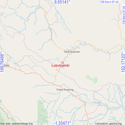
Lubukjambi GPS coordinates[2]
0° 39' 6.12" South, 101° 28' 5.16" East
| Map corner | latitude | longitude |
|---|---|---|
| Upper-left | 0.05141°, | 100.76498° |
| Center: | -0.6517°, | 101.4681° |
| Lower-right: | -1.35471°, | 102.17123° |
| Map W x H: | 156.3×156.4 km | = 97.1×97.2mi |
| max Lat: | 5.88969° ⇑5.7% North |
| Lubukjambi: | -0.6517° |
| min Lat: | ⇓94.3% South -10.934° |
| min Long | Lubukjambi | max Long |
| 95.1345° | 101.4681° | 140.9419° |
| W 3.7%⇐ | ⇒96.3% E |
Elevation
Elevation of Lubukjambi is 64 m = 210 ft, and this is 165.7 m = 544 ft below average elevation for this country.
| Max E: |
3185 m = 10449 ft | 58.8% |
| Avg. | 229.7 m = 754 ft | |
| Lubukjambi | 64 m = 210 ft | |
Min E: |
-1 m = -3 ft | 41.2% |
See also: Indonesia elevation on elevation.city.
Geographical zone
Lubukjambi is located in South Torrid zone (between Equator and Tropic of Capricorn). Distance of Equator is 72.5 km =45 mi to North.| Distance of | km | miles | from Lubukjambi |
|---|---|---|---|
| Equator | 72.5 | 45 | to North |
| Tropic Capricorn | 2533.5 | 1574.2 | to South |
| Antarctic Circle | 7328.7 | 4553.8 | to South |
| South Pole | 9934.6 | 6173.1 | to South |


Nearby cities:
15 places around Lubukjambi: (largest is in red/bold)
• Baserah
38.2 km =23.7 mi,  53°
53°
• Cerenti
47.3 km =29.4 mi,  70°
70°
• Kotabaru
59.6 km =37 mi,  146°
146°
• Kototujuh
64.4 km =40 mi,  271°
271°
• Kumanis
71.7 km =44.6 mi,  279°
279°
• Muaralembu
33.3 km =20.7 mi,  334°
334°
• Muaro
56.7 km =35.2 mi, 268°
• Peranap
58.5 km =36.4 mi,  78°
78°
• Pulau Punjung
34.4 km =21.4 mi,  174°
174°
• Sijunjung
54.8 km =34.1 mi,  264°
264°
• Sumpur Kudus
66.4 km =41.3 mi,  290°
290°
• Tanjungampalu
71.2 km =44.2 mi, 271°
• Tanjungampalu
71.6 km =44.5 mi, 272°
• Tanjunggadang
33.1 km =20.6 mi,  244°
244°
• Teluk Kuantan
18.6 km =11.6 mi,  42°
42°
Sources, notices
• [Note1] Compared only with cities in Indonesia existing in our database
• [Src1] Map data: © OpenStreetMap contributors (CC-BY-SA)
• [Src2] Other city data from geonames.org with taken over terms of usage.
• [Src3] Geographical zone / Annual Mean Temperature by Robert A. Rohde @ Wikipedia
