Kimaam geodata
Kimaam (Papua) is a seat of a third-order administrative division; located in Indonesia in Asia/Jayapura (GMT+9) time zone. In our database, there are 407 cities with bigger population. Compared to other cities in Indonesia, 61.2% of cities are located further ↑North; 99.7% of cities are located further ←West and 92.1% of cities have higher elevation than Kimaam. Note1


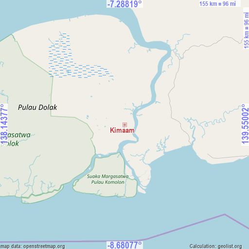
Kimaam GPS coordinates[2]
7° 59' 6.252" South, 138° 50' 48.804" East
| Map corner | latitude | longitude |
|---|---|---|
| Upper-left | -7.28819°, | 138.14377° |
| Center: | -7.98507°, | 138.84689° |
| Lower-right: | -8.68077°, | 139.55002° |
| Map W x H: | 154.8×154.8 km | = 96.2×96.2mi |
| max Lat: | 5.88969° ⇑61.2% North |
| Kimaam: | -7.98507° |
| min Lat: | ⇓38.8% South -10.934° |
| min Long | Kimaam | max Long |
| 95.1345° | 138.84689° | 140.9419° |
| W 99.7%⇐ | ⇒0.3% E |
Elevation
Elevation of Kimaam is 9 m = 30 ft, and this is 220.7 m = 724 ft below average elevation for this country.
| Max E: |
3185 m = 10449 ft | 92.1% |
| Avg. | 229.7 m = 754 ft | |
| Kimaam | 9 m = 30 ft | |
Min E: |
-1 m = -3 ft | 7.9% |
See also: Indonesia elevation on elevation.city.
Geographical zone
Kimaam is located in South Torrid zone (between Equator and Tropic of Capricorn). Distance of Equator is 887.9 km =551.7 mi to North.| Distance of | km | miles | from Kimaam |
|---|---|---|---|
| Equator | 887.9 | 551.7 | to North |
| Tropic Capricorn | 1718.1 | 1067.6 | to South |
| Antarctic Circle | 6513.3 | 4047.2 | to South |
| South Pole | 9119.2 | 5666.4 | to South |


Nearby cities:
13 places around Kimaam: (largest is in red/bold)
• Agats
282.5 km =175.5 mi,  343°
343°
• Bade
121.9 km =75.7 mi,  41°
41°
• Eci
209.7 km =130.3 mi,  9°
9°
• Getentiri
226.8 km =140.9 mi,  46°
46°
• Kenyam
379.9 km =236.1 mi,  352°
352°
• Kepi
170.6 km =106 mi,  17°
17°
• Mapurujaya
430.3 km =267.4 mi,  328°
328°
• Mindiptana
311.6 km =193.6 mi, 40°
• Muting
203 km =126.1 mi,  68°
68°
• Oksibil
395.1 km =245.5 mi,  29°
29°
• Sumohai
370.7 km =230.3 mi, 8°
• Tanah Merah
264.5 km =164.4 mi, 37°
• Wamena
432.7 km =268.9 mi,  1°
1°
Sources, notices
• [Note1] Compared only with cities in Indonesia existing in our database
• [Src1] Map data: © OpenStreetMap contributors (CC-BY-SA)
• [Src2] Other city data from geonames.org with taken over terms of usage.
• [Src3] Geographical zone / Annual Mean Temperature by Robert A. Rohde @ Wikipedia
