Getentiri geodata
Getentiri (Papua) is a seat of a third-order administrative division; located in Indonesia in Asia/Jayapura (GMT+9) time zone. In our database, there are 407 cities with bigger population. Compared to other cities in Indonesia, 82.9% of cities are located further ↓South; 99.9% of cities are located further ←West and 83% of cities have higher elevation than Getentiri. Note1


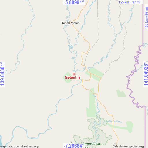
Getentiri GPS coordinates[2]
6° 35' 19.932" South, 140° 20' 46.068" East
| Map corner | latitude | longitude |
|---|---|---|
| Upper-left | -5.88991°, | 139.64301° |
| Center: | -6.58887°, | 140.34613° |
| Lower-right: | -7.28684°, | 141.04926° |
| Map W x H: | 155.3×155.3 km | = 96.5×96.5mi |
| max Lat: | 5.88969° ⇑17.1% North |
| Getentiri: | -6.58887° |
| min Lat: | ⇓82.9% South -10.934° |
| min Long | Getentiri | max Long |
| 95.1345° | 140.34613° | 140.9419° |
| W 99.9%⇐ | ⇒0.099999999999994% E |
Elevation
Elevation of Getentiri is 16 m = 52 ft, and this is 213.7 m = 701 ft below average elevation for this country.
| Max E: |
3185 m = 10449 ft | 83% |
| Avg. | 229.7 m = 754 ft | |
| Getentiri | 16 m = 52 ft | |
Min E: |
-1 m = -3 ft | 17% |
See also: Indonesia elevation on elevation.city.
Geographical zone
Getentiri is located in South Torrid zone (between Equator and Tropic of Capricorn). Distance of Equator is 732.6 km =455.2 mi to North.| Distance of | km | miles | from Getentiri |
|---|---|---|---|
| Equator | 732.6 | 455.2 | to North |
| Tropic Capricorn | 1873.3 | 1164 | to South |
| Antarctic Circle | 6668.6 | 4143.7 | to South |
| South Pole | 9274.4 | 5762.8 | to South |


Nearby cities:
15 places around Getentiri: (largest is in red/bold)
• Agats
270.6 km =168.1 mi,  295°
295°
• Bade
105.9 km =65.8 mi,  232°
232°
• Eci
141.6 km =88 mi,  291°
291°
• Elelim
322.5 km =200.4 mi,  347°
347°
• Kenyam
309.9 km =192.6 mi,  315°
315°
• Kepi
113.3 km =70.4 mi,  273°
273°
• Kimaam
226.8 km =140.9 mi, 226°
• Mindiptana
89.2 km =55.4 mi,  25°
25°
• Muting
83.3 km =51.8 mi,  163°
163°
• Oksibil
189.9 km =118 mi,  9°
9°
• Sengge
352.5 km =219 mi, 7°
• Sumohai
238 km =147.9 mi,  332°
332°
• Tanah Merah
54.8 km =34.1 mi,  355°
355°
• Ubrub
325.2 km =202.1 mi, 10°
• Wamena
317.7 km =197.4 mi, 330°
Sources, notices
• [Note1] Compared only with cities in Indonesia existing in our database
• [Src1] Map data: © OpenStreetMap contributors (CC-BY-SA)
• [Src2] Other city data from geonames.org with taken over terms of usage.
• [Src3] Geographical zone / Annual Mean Temperature by Robert A. Rohde @ Wikipedia
