Agats geodata
Agats (Papua) is a seat of a second-order administrative division; located in Indonesia in Asia/Jayapura (GMT+9) time zone. In our database, there are 407 cities with bigger population. Compared to other cities in Indonesia, 88.2% of cities are located further ↓South; 99.6% of cities are located further ←West and 99.1% of cities have higher elevation than Agats. Note1


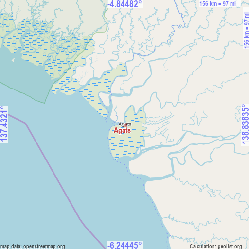
Agats GPS coordinates[2]
5° 32' 42.18" South, 138° 8' 6.792" East
| Map corner | latitude | longitude |
|---|---|---|
| Upper-left | -4.84482°, | 137.4321° |
| Center: | -5.54505°, | 138.13522° |
| Lower-right: | -6.24445°, | 138.83835° |
| Map W x H: | 155.6×155.6 km | = 96.7×96.7mi |
| max Lat: | 5.88969° ⇑11.8% North |
| Agats: | -5.54505° |
| min Lat: | ⇓88.2% South -10.934° |
| min Long | Agats | max Long |
| 95.1345° | 138.13522° | 140.9419° |
| W 99.6%⇐ | ⇒0.40000000000001% E |
Elevation
Elevation of Agats is 4 m = 13 ft, and this is 225.7 m = 740 ft below average elevation for this country.
| Max E: |
3185 m = 10449 ft | 99.1% |
| Avg. | 229.7 m = 754 ft | |
| Agats | 4 m = 13 ft | |
Min E: |
-1 m = -3 ft | 0.9% |
See also: Indonesia elevation on elevation.city.
Geographical zone
Agats is located in South Torrid zone (between Equator and Tropic of Capricorn). Distance of Equator is 616.6 km =383.1 mi to North.| Distance of | km | miles | from Agats |
|---|---|---|---|
| Equator | 616.6 | 383.1 | to North |
| Tropic Capricorn | 1989.4 | 1236.2 | to South |
| Antarctic Circle | 6784.6 | 4215.8 | to South |
| South Pole | 9390.5 | 5835 | to South |


Nearby cities:
15 places around Agats: (largest is in red/bold)
• Beoga
217.9 km =135.4 mi,  330°
330°
• Bikondini
215.4 km =133.8 mi,  13°
13°
• Eci
129.7 km =80.6 mi,  119°
119°
• Ilaga
195.2 km =121.3 mi,  335°
335°
• Karubaga
208.3 km =129.4 mi, 9°
• Kenyam
108.7 km =67.5 mi, 14°
• Kepi
170.6 km =106 mi,  129°
129°
• Kobakma
233.1 km =144.8 mi,  26°
26°
• Mapurujaya
173.9 km =108.1 mi,  303°
303°
• Mulia
204.2 km =126.9 mi,  355°
355°
• Sugapa
233.7 km =145.2 mi, 329°
• Sumohai
165.2 km =102.7 mi,  54°
54°
• Tiom
183.7 km =114.1 mi, 11°
• Wamena
184.5 km =114.6 mi, 29°
• Wurigelebur
211.8 km =131.6 mi,  20°
20°
Sources, notices
• [Note1] Compared only with cities in Indonesia existing in our database
• [Src1] Map data: © OpenStreetMap contributors (CC-BY-SA)
• [Src2] Other city data from geonames.org with taken over terms of usage.
• [Src3] Geographical zone / Annual Mean Temperature by Robert A. Rohde @ Wikipedia
