Foynes geodata
Foynes (Munster) is a populated place; located in Ireland in Europe/Dublin (GMT+1) time zone. With population of 542 people, there are 505 cities with bigger population in this country. Compared to other cities in Ireland, 75.5% of cities are located further ↑North; 91.1% of cities are located further →East and 99.1% of cities have higher elevation than Foynes. Note1


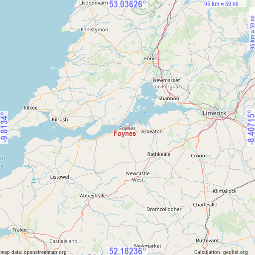
Foynes GPS coordinates[2]
52° 36' 41.004" North, 9° 6' 37.008" West
| Map corner | latitude | longitude |
|---|---|---|
| Upper-left | 53.03626°, | -9.8134° |
| Center: | 52.61139°, | -9.11028° |
| Lower-right: | 52.18236°, | -8.40715° |
| Map W x H: | 94.9×94.9 km | = 59×59mi |
| max Lat: | 55.25° ⇑75.5% North |
| Foynes: | 52.61139° |
| min Lat: | ⇓24.5% South 51.52487° |
| min Long | Foynes | max Long |
| -10.26889° | -9.11028° | -6.04944° |
| W 8.9%⇐ | ⇒91.1% E |
Elevation
Elevation of Foynes is 3 m = 10 ft, and this is 51.5 m = 169 ft below average elevation for this country.
| Max E: |
262 m = 860 ft | 99.1% |
| Avg. | 54.5 m = 179 ft | |
| Foynes | 3 m = 10 ft | |
Min E: |
0 m = 0 ft | 0.9% |
See also: Ireland elevation on elevation.city.
Geographical zone
Foynes is located in North temperate zone (between Tropic of Cancer and the Arctic Circle). Distance of this North polar circle is 1551.3 km =963.9 mi to North.| Distance of | km | miles | from Foynes |
|---|---|---|---|
| North Pole | 4157.2 | 2583.2 | to North |
| Arctic Circle | 1551.3 | 963.9 | to North |
| Tropic Cancer | 3243.9 | 2015.7 | to South |
| Equator | 5849.8 | 3634.9 | to South |


Nearby cities:
15 places around Foynes: (largest is in red/bold)
• Adare
22 km =13.7 mi,  104°
104°
• Askeaton
9.2 km =5.7 mi, 98°
• Ballingarry
22.7 km =14.1 mi,  132°
132°
• Cratloe
25.4 km =15.8 mi,  68°
68°
• Ennis
27.1 km =16.8 mi,  17°
17°
• Glin
12.5 km =7.8 mi,  248°
248°
• Kilrush
25.4 km =15.8 mi,  277°
277°
• Newcastle West
18.3 km =11.4 mi,  169°
169°
• Newmarket on Fergus
22 km =13.7 mi,  41°
41°
• Pallaskenry
16.7 km =10.4 mi,  77°
77°
• Patrickswell
27.2 km =16.9 mi,  93°
93°
• Rathkeale
15.1 km =9.4 mi, 129°
• Shannon
19.5 km =12.1 mi,  58°
58°
• Sixmilebridge
26.9 km =16.7 mi, 57°
• Tarbert
18.4 km =11.4 mi,  256°
256°
Sources, notices
• [Note1] Compared only with cities in Ireland existing in our database
• [Src1] Map data: © OpenStreetMap contributors (CC-BY-SA)
• [Src2] Other city data from geonames.org with taken over terms of usage.
• [Src3] Geographical zone / Annual Mean Temperature by Robert A. Rohde @ Wikipedia
