Ford geodata
Ford (Leinster) is a populated place; located in Ireland in Europe/Dublin (GMT+1) time zone. With population of 654 people, there are 453 cities with bigger population in this country. Compared to other cities in Ireland, 79.5% of cities are located further ↑North; 84.6% of cities are located further ←West and 52.2% of cities have higher elevation than Ford. Note1


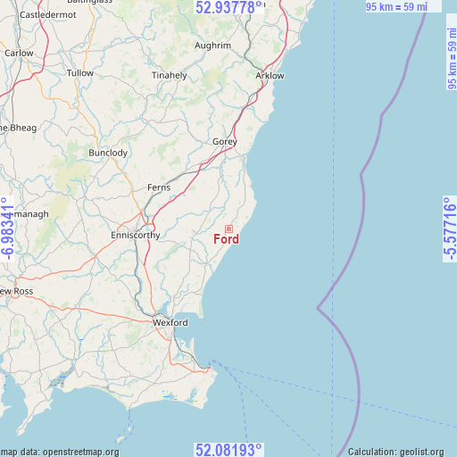
Ford GPS coordinates[2]
52° 30' 42.984" North, 6° 16' 49.008" West
| Map corner | latitude | longitude |
|---|---|---|
| Upper-left | 52.93778°, | -6.98341° |
| Center: | 52.51194°, | -6.28028° |
| Lower-right: | 52.08193°, | -5.57716° |
| Map W x H: | 95.2×95.2 km | = 59.2×59.2mi |
| max Lat: | 55.25° ⇑79.5% North |
| Ford: | 52.51194° |
| min Lat: | ⇓20.5% South 51.52487° |
| min Long | Ford | max Long |
| -10.26889° | -6.28028° | -6.04944° |
| W 84.6%⇐ | ⇒15.4% E |
Elevation
Elevation of Ford is 48 m = 157 ft, and this is 6.5 m = 21 ft below average elevation for this country.
| Max E: |
262 m = 860 ft | 52.2% |
| Avg. | 54.5 m = 179 ft | |
| Ford | 48 m = 157 ft | |
Min E: |
0 m = 0 ft | 47.8% |
See also: Ireland elevation on elevation.city.
Geographical zone
Ford is located in North temperate zone (between Tropic of Cancer and the Arctic Circle). Distance of this North polar circle is 1562.4 km =970.8 mi to North.| Distance of | km | miles | from Ford |
|---|---|---|---|
| North Pole | 4168.3 | 2590.1 | to North |
| Arctic Circle | 1562.4 | 970.8 | to North |
| Tropic Cancer | 3232.9 | 2008.8 | to South |
| Equator | 5838.8 | 3628.1 | to South |


Nearby cities:
15 places around Ford: (largest is in red/bold)
• Ballinroad
8.5 km =5.3 mi,  274°
274°
• Ballycanew
10.9 km =6.8 mi,  351°
351°
• Ballygerry
29.7 km =18.5 mi,  190°
190°
• Bunclody
29.8 km =18.5 mi,  302°
302°
• Carnew
26.2 km =16.3 mi,  326°
326°
• Castlebridge
18.1 km =11.2 mi,  219°
219°
• Castletown
24.3 km =15.1 mi,  14°
14°
• Courtown
15.1 km =9.4 mi, 13°
• Enniscorthy
18.8 km =11.7 mi, 266°
• Ferns
17.1 km =10.6 mi, 299°
• Gorey
18.1 km =11.2 mi,  357°
357°
• Kilrane
30.5 km =19 mi, 189°
• Loch Garman
23.1 km =14.4 mi,  211°
211°
• Piercetown
29.1 km =18.1 mi, 209°
• Rosslare
27.2 km =16.9 mi,  195°
195°
Sources, notices
• [Note1] Compared only with cities in Ireland existing in our database
• [Src1] Map data: © OpenStreetMap contributors (CC-BY-SA)
• [Src2] Other city data from geonames.org with taken over terms of usage.
• [Src3] Geographical zone / Annual Mean Temperature by Robert A. Rohde @ Wikipedia
