Dunmore geodata
Dunmore (Connaught) is a populated place; located in Ireland in Europe/Dublin (GMT+1) time zone. With population of 577 people, there are 490 cities with bigger population in this country. Compared to other cities in Ireland, 75.7% of cities are located further ↓South; 82.5% of cities are located further →East and 63.9% of cities have lower elevation than Dunmore. Note1


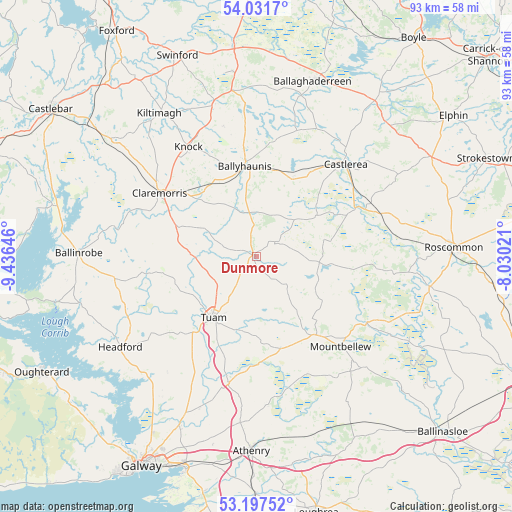
Dunmore GPS coordinates[2]
53° 37' 0.012" North, 8° 43' 59.988" West
| Map corner | latitude | longitude |
|---|---|---|
| Upper-left | 54.0317°, | -9.43646° |
| Center: | 53.61667°, | -8.73333° |
| Lower-right: | 53.19752°, | -8.03021° |
| Map W x H: | 92.8×92.7 km | = 57.7×57.6mi |
| max Lat: | 55.25° ⇑24.3% North |
| Dunmore: | 53.61667° |
| min Lat: | ⇓75.7% South 51.52487° |
| min Long | Dunmore | max Long |
| -10.26889° | -8.73333° | -6.04944° |
| W 17.5%⇐ | ⇒82.5% E |
Elevation
Elevation of Dunmore is 63 m = 207 ft, and this is 8.5 m = 28 ft above average elevation for this country.
| Max E: |
262 m = 860 ft | 36.1% |
| Dunmore | 63 m 207 ft | |
| Avg. | 54.5 m = 179 ft | |
Min E: |
0 m = 0 ft | 63.9% |
See also: Ireland elevation on elevation.city.
Geographical zone
Dunmore is located in North temperate zone (between Tropic of Cancer and the Arctic Circle). Distance of this North polar circle is 1439.6 km =894.5 mi to North.| Distance of | km | miles | from Dunmore |
|---|---|---|---|
| North Pole | 4045.4 | 2513.7 | to North |
| Arctic Circle | 1439.6 | 894.5 | to North |
| Tropic Cancer | 3355.7 | 2085.1 | to South |
| Equator | 5961.6 | 3704.4 | to South |


Nearby cities:
15 places around Dunmore: (largest is in red/bold)
• Balla
33.3 km =20.7 mi,  308°
308°
• Ballaghaderreen
33 km =20.5 mi,  17°
17°
• Ballinrobe
33 km =20.5 mi,  273°
273°
• Ballygar
28.8 km =17.9 mi,  111°
111°
• Ballyhaunis
16.8 km =10.4 mi,  352°
352°
• Castlerea
22.7 km =14.1 mi,  42°
42°
• Claremorris
20.8 km =12.9 mi,  302°
302°
• Corrofin
21.7 km =13.5 mi,  203°
203°
• Headford
29.4 km =18.3 mi,  235°
235°
• Kiltamagh
31.3 km =19.4 mi,  325°
325°
• Knock
23 km =14.3 mi, 327°
• Lackagh
29.4 km =18.3 mi, 199°
• Mountbellew
22.1 km =13.7 mi,  136°
136°
• Moylough
18.5 km =11.5 mi, 143°
• Tuam
13.5 km =8.4 mi,  214°
214°
Sources, notices
• [Note1] Compared only with cities in Ireland existing in our database
• [Src1] Map data: © OpenStreetMap contributors (CC-BY-SA)
• [Src2] Other city data from geonames.org with taken over terms of usage.
• [Src3] Geographical zone / Annual Mean Temperature by Robert A. Rohde @ Wikipedia
