Ballaghaderreen geodata
Ballaghaderreen (Connaught) is a populated place; located in Ireland in Europe/Dublin (GMT+1) time zone. With population of 1,822 people, there are 240 cities with bigger population in this country. Compared to other cities in Ireland, 84.3% of cities are located further ↓South; 78.2% of cities are located further →East and 76.9% of cities have lower elevation than Ballaghaderreen. Note1


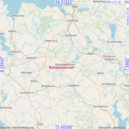
Ballaghaderreen GPS coordinates[2]
53° 54' 0" North, 8° 34' 59.988" West
| Map corner | latitude | longitude |
|---|---|---|
| Upper-left | 54.31223°, | -9.28645° |
| Center: | 53.9°, | -8.58333° |
| Lower-right: | 53.48366°, | -7.8802° |
| Map W x H: | 92.1×92.1 km | = 57.2×57.2mi |
| max Lat: | 55.25° ⇑15.7% North |
| Ballaghaderreen: | 53.9° |
| min Lat: | ⇓84.3% South 51.52487° |
| min Long | Ballaghaderreen | max Long |
| -10.26889° | -8.58333° | -6.04944° |
| W 21.8%⇐ | ⇒78.2% E |
Elevation
Elevation of Ballaghaderreen is 83 m = 272 ft, and this is 28.5 m = 94 ft above average elevation for this country.
| Max E: |
262 m = 860 ft | 23.1% |
| Ballaghaderreen | 83 m 272 ft | |
| Avg. | 54.5 m = 179 ft | |
Min E: |
0 m = 0 ft | 76.9% |
See also: Ireland elevation on elevation.city.
Geographical zone
Ballaghaderreen is located in North temperate zone (between Tropic of Cancer and the Arctic Circle). Distance of this North polar circle is 1408.1 km =875 mi to North.| Distance of | km | miles | from Ballaghaderreen |
|---|---|---|---|
| North Pole | 4013.9 | 2494.1 | to North |
| Arctic Circle | 1408.1 | 875 | to North |
| Tropic Cancer | 3387.2 | 2104.7 | to South |
| Equator | 5993.1 | 3723.9 | to South |


Nearby cities:
15 places around Ballaghaderreen: (largest is in red/bold)
• Ballyhaunis
19.1 km =11.9 mi,  219°
219°
• Ballymote
20.8 km =12.9 mi,  12°
12°
• Boyle
20 km =12.4 mi,  68°
68°
• Carrick-on-Shannon
32.7 km =20.3 mi,  80°
80°
• Castlerea
15.8 km =9.8 mi,  159°
159°
• Charlestown
15.5 km =9.6 mi,  297°
297°
• Claremorris
34.1 km =21.2 mi,  233°
233°
• Collooney
32 km =19.9 mi, 9°
• Coolaney
30.9 km =19.2 mi,  358°
358°
• Dunmore
33 km =20.5 mi,  197°
197°
• Elphin
25.7 km =16 mi,  102°
102°
• Kiltamagh
27.9 km =17.3 mi,  258°
258°
• Knock
25.3 km =15.7 mi,  241°
241°
• Swinford
24.6 km =15.3 mi,  283°
283°
• Tobercurry
19.3 km =12 mi,  329°
329°
Sources, notices
• [Note1] Compared only with cities in Ireland existing in our database
• [Src1] Map data: © OpenStreetMap contributors (CC-BY-SA)
• [Src2] Other city data from geonames.org with taken over terms of usage.
• [Src3] Geographical zone / Annual Mean Temperature by Robert A. Rohde @ Wikipedia
