Khamānon Kalān geodata
Khamānon Kalān (Punjab) is a populated place; located in India in Asia/Kolkata (GMT+5.5) time zone. With population of 9,396 people, there are 3002 cities with bigger population in this country. Compared to other cities in India, 95.2% of cities are located further ↓South; 69.7% of cities are located further →East and 63.4% of cities have lower elevation than Khamānon Kalān. Note1


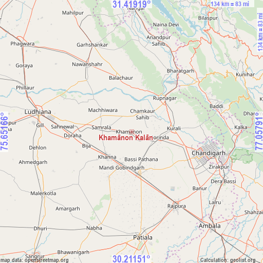
Khamānon Kalān GPS coordinates[2]
30° 49' 2.1" North, 76° 21' 17.208" East
| Map corner | latitude | longitude |
|---|---|---|
| Upper-left | 31.41919°, | 75.65166° |
| Center: | 30.81725°, | 76.35478° |
| Lower-right: | 30.21151°, | 77.05791° |
| Map W x H: | 134.3×134.3 km | = 83.5×83.5mi |
| max Lat: | 34.9274° ⇑4.8% North |
| Khamānon Kalān: | 30.81725° |
| min Lat: | ⇓95.2% South 8.09008° |
| min Long | Khamānon Kalā | max Long |
| 68.82655° | 76.35478° | 96.81° |
| W 30.3%⇐ | ⇒69.7% E |
Elevation
Elevation of Khamānon Kalān is 275 m = 902 ft, and this is 20.6 m = 68 ft below average elevation for this country.
| Max E: |
3681 m = 12077 ft | 36.6% |
| Avg. | 295.6 m = 970 ft | |
| Khamānon Kalān | 275 m = 902 ft | |
Min E: |
1 m = 3 ft | 63.4% |
See also: India elevation on elevation.city.
Geographical zone
Khamānon Kalān is located in North temperate zone (between Tropic of Cancer and the Arctic Circle). Distance of this Northern Tropic circle is 820.6 km =509.9 mi to South.| Distance of | km | miles | from Khamānon Kalān |
|---|---|---|---|
| North Pole | 6580.5 | 4088.9 | to North |
| Arctic Circle | 3974.6 | 2469.7 | to North |
| Tropic Cancer | 820.6 | 509.9 | to South |
| Equator | 3426.6 | 2129.2 | to South |


Nearby cities:
15 places around Khamānon Kalān: (largest is in red/bold)
• Amloh
26 km =16.2 mi,  206°
206°
• Basi
15 km =9.3 mi,  162°
162°
• Bālāchor
27.5 km =17.1 mi,  349°
349°
• Chīma
29.5 km =18.3 mi,  240°
240°
• Dorāha
31.7 km =19.7 mi,  266°
266°
• Khanna
17.8 km =11.1 mi,  225°
225°
• Kharar
29 km =18 mi,  105°
105°
• Mohali
38.3 km =23.8 mi, 113°
• Morinda
14.1 km =8.8 mi,  102°
102°
• Māchhīwāra
18.4 km =11.4 mi,  306°
306°
• Nūrpur Kalān
40.7 km =25.3 mi,  17°
17°
• Ropar
23.5 km =14.6 mi,  44°
44°
• Rāhon
34.5 km =21.4 mi,  319°
319°
• Samrāla
15.6 km =9.7 mi,  277°
277°
• Sirhind
19.6 km =12.2 mi,  171°
171°
Sources, notices
• [Note1] Compared only with cities in India existing in our database
• [Src1] Map data: © OpenStreetMap contributors (CC-BY-SA)
• [Src2] Other city data from geonames.org with taken over terms of usage.
• [Src3] Geographical zone / Annual Mean Temperature by Robert A. Rohde @ Wikipedia
