Khairāgarh geodata
Khairāgarh (Chhattisgarh) is a populated place; located in India in Asia/Kolkata (GMT+5.5) time zone. With population of 15,734 people, there are 2397 cities with bigger population in this country. Compared to other cities in India, 59.5% of cities are located further ↑North; 72.8% of cities are located further ←West and 69% of cities have lower elevation than Khairāgarh. Note1


Khairāgarh GPS coordinates[2]
21° 25' 6.924" North, 80° 58' 45.912" East
| Map corner | latitude | longitude |
|---|---|---|
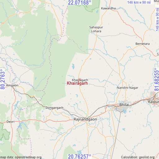
| Upper-left | 22.07168°, | 80.2763° |
| Center: | 21.41859°, | 80.97942° |
| Lower-right: | 20.76257°, | 81.68255° |
| Map W x H: | 145.6×145.6 km | = 90.5×90.5mi |
| max Lat: | 34.9274° ⇑59.5% North |
| Khairāgarh: | 21.41859° |
| min Lat: | ⇓40.5% South 8.09008° |
| min Long | Khairāgarh | max Long |
| 68.82655° | 80.97942° | 96.81° |
| W 72.8%⇐ | ⇒27.2% E |
Elevation
Elevation of Khairāgarh is 317 m = 1040 ft, and this is 21.4 m = 70 ft above average elevation for this country.
| Max E: |
3681 m = 12077 ft | 31% |
| Khairāgarh | 317 m 1040 ft | |
| Avg. | 295.6 m = 970 ft | |
Min E: |
1 m = 3 ft | 69% |
See also: India elevation on elevation.city.
Geographical zone
Khairāgarh is located in North Torrid zone (between Equator and Tropic of Cancer). Distance of this Northern Tropic circle is 224.4 km =139.4 mi to North.| Distance of | km | miles | from Khairāgarh |
|---|---|---|---|
| North Pole | 7625.5 | 4738.3 | to North |
| Arctic Circle | 5019.7 | 3119.1 | to North |
| Tropic Cancer | 224.4 | 139.4 | to North |
| Equator | 2381.5 | 1479.8 | to South |


Nearby cities:
15 places around Khairāgarh: (largest is in red/bold)
• Ambāgarh Chauki
75.4 km =46.9 mi,  198°
198°
• Bemetāra
66.2 km =41.1 mi,  60°
60°
• Bhilai
52 km =32.3 mi,  116°
116°
• Bhānpurī
36.7 km =22.8 mi,  187°
187°
• Chhuīkhadān
11.8 km =7.3 mi,  9°
9°
• Dongargaon
51.4 km =31.9 mi, 195°
• Dongargarh
34.6 km =21.5 mi,  222°
222°
• Durg
39.8 km =24.7 mi,  129°
129°
• Gandai
30.3 km =18.8 mi,  24°
24°
• Kawardha
70.6 km =43.9 mi, 21°
• Kumhāri
58.1 km =36.1 mi,  106°
106°
• Pātan
71.6 km =44.5 mi, 126°
• Raipur
70.8 km =44 mi, 106°
• Rāj-Nāndgaon
36.1 km =22.4 mi,  171°
171°
• Simga
78.5 km =48.8 mi,  72°
72°
Sources, notices
• [Note1] Compared only with cities in India existing in our database
• [Src1] Map data: © OpenStreetMap contributors (CC-BY-SA)
• [Src2] Other city data from geonames.org with taken over terms of usage.
• [Src3] Geographical zone / Annual Mean Temperature by Robert A. Rohde @ Wikipedia
