Hesla geodata
Hesla (Jharkhand) is a populated place; located in India in Asia/Kolkata (GMT+5.5) time zone. With population of 6,286 people, there are 3265 cities with bigger population in this country. Compared to other cities in India, 58.5% of cities are located further ↓South; 86.6% of cities are located further ←West and 73.7% of cities have lower elevation than Hesla. Note1


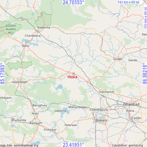
Hesla GPS coordinates[2]
24° 3' 47.268" North, 85° 52' 44.58" East
| Map corner | latitude | longitude |
|---|---|---|
| Upper-left | 24.70353°, | 85.17593° |
| Center: | 24.06313°, | 85.87905° |
| Lower-right: | 23.41951°, | 86.58218° |
| Map W x H: | 142.8×142.8 km | = 88.7×88.7mi |
| max Lat: | 34.9274° ⇑41.5% North |
| Hesla: | 24.06313° |
| min Lat: | ⇓58.5% South 8.09008° |
| min Long | Hesla | max Long |
| 68.82655° | 85.87905° | 96.81° |
| W 86.6%⇐ | ⇒13.4% E |
Elevation
Elevation of Hesla is 370 m = 1214 ft, and this is 74.4 m = 244 ft above average elevation for this country.
| Max E: |
3681 m = 12077 ft | 26.3% |
| Hesla | 370 m 1214 ft | |
| Avg. | 295.6 m = 970 ft | |
Min E: |
1 m = 3 ft | 73.7% |
See also: India elevation on elevation.city.
Geographical zone
Hesla is located in North temperate zone (between Tropic of Cancer and the Arctic Circle). Distance of this Northern Tropic circle is 69.7 km =43.3 mi to South.| Distance of | km | miles | from Hesla |
|---|---|---|---|
| North Pole | 7331.5 | 4555.6 | to North |
| Arctic Circle | 4725.6 | 2936.4 | to North |
| Tropic Cancer | 69.7 | 43.3 | to South |
| Equator | 2675.6 | 1662.5 | to South |


Nearby cities:
15 places around Hesla: (largest is in red/bold)
• Barki Saria
12.6 km =7.8 mi,  4°
4°
• Bokāro
31.7 km =19.7 mi,  165°
165°
• Dhanwār
40 km =24.9 mi,  15°
15°
• Dugda
46.2 km =28.7 mi,  139°
139°
• Gomoh
34.8 km =21.6 mi,  127°
127°
• Gumia
30 km =18.6 mi,  190°
190°
• Gīrīdīh
45.7 km =28.4 mi,  72°
72°
• Hazāribāgh
53.1 km =33 mi,  261°
261°
• Kodarmā
53.5 km =33.2 mi,  327°
327°
• Kuju
53.1 km =33 mi,  224°
224°
• Kātrās
51.8 km =32.2 mi,  124°
124°
• Malkera
52 km =32.3 mi, 126°
• Sāruberā
29.7 km =18.5 mi,  156°
156°
• Topchānchi
36.9 km =22.9 mi, 118°
• patamda
53.8 km =33.4 mi,  299°
299°
Sources, notices
• [Note1] Compared only with cities in India existing in our database
• [Src1] Map data: © OpenStreetMap contributors (CC-BY-SA)
• [Src2] Other city data from geonames.org with taken over terms of usage.
• [Src3] Geographical zone / Annual Mean Temperature by Robert A. Rohde @ Wikipedia
