Dalsingh Sarai geodata
Dalsingh Sarai (Bihar) is a populated place; located in India in Asia/Kolkata (GMT+5.5) time zone. With population of 21,611 people, there are 1925 cities with bigger population in this country. Compared to other cities in India, 68.2% of cities are located further ↓South; 86.5% of cities are located further ←West and 78.9% of cities have higher elevation than Dalsingh Sarai. Note1


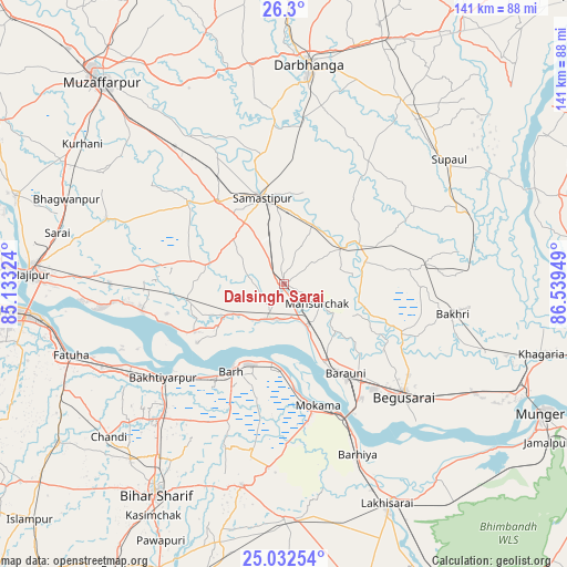
Dalsingh Sarai GPS coordinates[2]
25° 40' 4.62" North, 85° 50' 10.896" East
| Map corner | latitude | longitude |
|---|---|---|
| Upper-left | 26.3°, | 85.13324° |
| Center: | 25.66795°, | 85.83636° |
| Lower-right: | 25.03254°, | 86.53949° |
| Map W x H: | 140.9×140.9 km | = 87.6×87.6mi |
| max Lat: | 34.9274° ⇑31.8% North |
| Dalsingh Sarai: | 25.66795° |
| min Lat: | ⇓68.2% South 8.09008° |
| min Long | Dalsingh Sarai | max Long |
| 68.82655° | 85.83636° | 96.81° |
| W 86.5%⇐ | ⇒13.5% E |
Elevation
Elevation of Dalsingh Sarai is 52 m = 171 ft, and this is 243.6 m = 799 ft below average elevation for this country.
| Max E: |
3681 m = 12077 ft | 78.9% |
| Avg. | 295.6 m = 970 ft | |
| Dalsingh Sarai | 52 m = 171 ft | |
Min E: |
1 m = 3 ft | 21.1% |
See also: India elevation on elevation.city.
Geographical zone
Dalsingh Sarai is located in North temperate zone (between Tropic of Cancer and the Arctic Circle). Distance of this Northern Tropic circle is 248.1 km =154.2 mi to South.| Distance of | km | miles | from Dalsingh Sarai |
|---|---|---|---|
| North Pole | 7153.1 | 4444.7 | to North |
| Arctic Circle | 4547.2 | 2825.5 | to North |
| Tropic Cancer | 248.1 | 154.2 | to South |
| Equator | 2854 | 1773.4 | to South |


Nearby cities:
15 places around Dalsingh Sarai: (largest is in red/bold)
• Bakhtiyārpur
38.2 km =23.7 mi,  233°
233°
• Bar Bigha
51 km =31.7 mi,  191°
191°
• Barhiya
46.1 km =28.6 mi,  156°
156°
• Begusarai
40.7 km =25.3 mi,  132°
132°
• Bārh
24.2 km =15 mi,  211°
211°
• Bāruni
25.2 km =15.7 mi,  148°
148°
• Darbhanga
54.2 km =33.7 mi,  6°
6°
• Fatwa
56.1 km =34.9 mi,  251°
251°
• Khusropur
49.8 km =30.9 mi, 245°
• Mohiuddinnagar
19.7 km =12.2 mi,  237°
237°
• Mokameh
31.4 km =19.5 mi, 164°
• Rusera
21.2 km =13.2 mi,  63°
63°
• Samāstipur
22.3 km =13.9 mi,  345°
345°
• Sheikhpura
58.7 km =36.5 mi,  179°
179°
• Teghra
22.3 km =13.9 mi, 152°
Sources, notices
• [Note1] Compared only with cities in India existing in our database
• [Src1] Map data: © OpenStreetMap contributors (CC-BY-SA)
• [Src2] Other city data from geonames.org with taken over terms of usage.
• [Src3] Geographical zone / Annual Mean Temperature by Robert A. Rohde @ Wikipedia
