Bārh geodata
Bārh (Bihar) is a populated place; located in India in Asia/Kolkata (GMT+5.5) time zone. With population of 49,557 people, there are 895 cities with bigger population in this country. Compared to other cities in India, 66.8% of cities are located further ↓South; 86.2% of cities are located further ←West and 78.9% of cities have higher elevation than Bārh. Note1


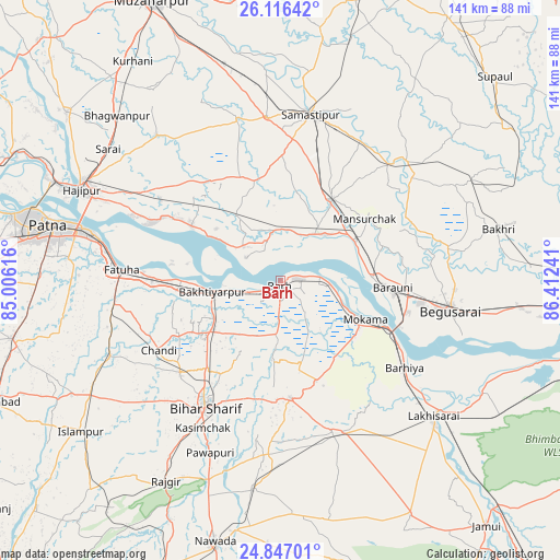
Bārh GPS coordinates[2]
25° 29' 0.204" North, 85° 42' 33.408" East
| Map corner | latitude | longitude |
|---|---|---|
| Upper-left | 26.11642°, | 85.00616° |
| Center: | 25.48339°, | 85.70928° |
| Lower-right: | 24.84701°, | 86.41241° |
| Map W x H: | 141.1×141.1 km | = 87.7×87.7mi |
| max Lat: | 34.9274° ⇑33.2% North |
| Bārh: | 25.48339° |
| min Lat: | ⇓66.8% South 8.09008° |
| min Long | Bārh | max Long |
| 68.82655° | 85.70928° | 96.81° |
| W 86.2%⇐ | ⇒13.8% E |
Elevation
Elevation of Bārh is 52 m = 171 ft, and this is 243.6 m = 799 ft below average elevation for this country.
| Max E: |
3681 m = 12077 ft | 78.9% |
| Avg. | 295.6 m = 970 ft | |
| Bārh | 52 m = 171 ft | |
Min E: |
1 m = 3 ft | 21.1% |
See also: Bārh elevation on elevation.city.
Geographical zone
Bārh is located in North temperate zone (between Tropic of Cancer and the Arctic Circle). Distance of this Northern Tropic circle is 227.6 km =141.4 mi to South.| Distance of | km | miles | from Bārh |
|---|---|---|---|
| North Pole | 7173.6 | 4457.5 | to North |
| Arctic Circle | 4567.7 | 2838.2 | to North |
| Tropic Cancer | 227.6 | 141.4 | to South |
| Equator | 2833.5 | 1760.7 | to South |


Nearby cities:
15 places around Bārh: (largest is in red/bold)
• Bakhtiyārpur
18 km =11.2 mi,  262°
262°
• Bar Bigha
29.5 km =18.3 mi,  175°
175°
• Barhiya
38.1 km =23.7 mi,  124°
124°
• Begusarai
43.2 km =26.8 mi,  99°
99°
• Bihār Sharīf
36.5 km =22.7 mi,  210°
210°
• Bāruni
26 km =16.2 mi,  92°
92°
• Dalsingh Sarai
24.2 km =15 mi,  31°
31°
• Fatwa
40.7 km =25.3 mi,  274°
274°
• Khusropur
32.6 km =20.3 mi, 269°
• Mohiuddinnagar
10.8 km =6.7 mi,  338°
338°
• Mokameh
23.4 km =14.5 mi,  114°
114°
• Rusera
43.7 km =27.2 mi,  46°
46°
• Samāstipur
42.7 km =26.5 mi,  9°
9°
• Sheikhpura
40.4 km =25.1 mi,  160°
160°
• Teghra
23.2 km =14.4 mi, 88°
Sources, notices
• [Note1] Compared only with cities in India existing in our database
• [Src1] Map data: © OpenStreetMap contributors (CC-BY-SA)
• [Src2] Other city data from geonames.org with taken over terms of usage.
• [Src3] Geographical zone / Annual Mean Temperature by Robert A. Rohde @ Wikipedia
