Charthāwal geodata
Charthāwal (Uttar Pradesh) is a populated place; located in India in Asia/Kolkata (GMT+5.5) time zone. With population of 19,942 people, there are 2048 cities with bigger population in this country. Compared to other cities in India, 91.4% of cities are located further ↓South; 56.2% of cities are located further →East and 60.7% of cities have lower elevation than Charthāwal. Note1


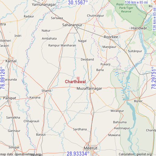
Charthāwal GPS coordinates[2]
29° 32' 48.732" North, 77° 35' 39.768" East
| Map corner | latitude | longitude |
|---|---|---|
| Upper-left | 30.1567°, | 76.89126° |
| Center: | 29.54687°, | 77.59438° |
| Lower-right: | 28.93334°, | 78.29751° |
| Map W x H: | 136×136 km | = 84.5×84.5mi |
| max Lat: | 34.9274° ⇑8.6% North |
| Charthāwal: | 29.54687° |
| min Lat: | ⇓91.4% South 8.09008° |
| min Long | Charthāwal | max Long |
| 68.82655° | 77.59438° | 96.81° |
| W 43.8%⇐ | ⇒56.2% E |
Elevation
Elevation of Charthāwal is 256 m = 840 ft, and this is 39.6 m = 130 ft below average elevation for this country.
| Max E: |
3681 m = 12077 ft | 39.3% |
| Avg. | 295.6 m = 970 ft | |
| Charthāwal | 256 m = 840 ft | |
Min E: |
1 m = 3 ft | 60.7% |
See also: India elevation on elevation.city.
Geographical zone
Charthāwal is located in North temperate zone (between Tropic of Cancer and the Arctic Circle). Distance of this Northern Tropic circle is 679.4 km =422.2 mi to South.| Distance of | km | miles | from Charthāwal |
|---|---|---|---|
| North Pole | 6721.8 | 4176.7 | to North |
| Arctic Circle | 4115.9 | 2557.5 | to North |
| Tropic Cancer | 679.4 | 422.2 | to South |
| Equator | 3285.3 | 2041.4 | to South |


Nearby cities:
15 places around Charthāwal: (largest is in red/bold)
• Banat
25 km =15.5 mi,  248°
248°
• Budhāna
31 km =19.3 mi,  201°
201°
• Deoband
18.4 km =11.4 mi,  26°
26°
• Garhi Pūkhta
27.6 km =17.1 mi,  270°
270°
• Jalālābad
17 km =10.6 mi,  297°
297°
• Khatauli
32.7 km =20.3 mi,  155°
155°
• Muzaffarnagar
13.5 km =8.4 mi,  128°
128°
• Nanauta
25.1 km =15.6 mi,  317°
317°
• Rāmpur
31.9 km =19.8 mi,  334°
334°
• Shāhpur
22.3 km =13.9 mi,  190°
190°
• Shāmli
29.6 km =18.4 mi, 248°
• Sisauli
19.1 km =11.9 mi,  219°
219°
• Thāna Bhawan
17.6 km =10.9 mi,  284°
284°
• Titron
29.4 km =18.3 mi, 297°
• Ūn
33.1 km =20.6 mi, 277°
Sources, notices
• [Note1] Compared only with cities in India existing in our database
• [Src1] Map data: © OpenStreetMap contributors (CC-BY-SA)
• [Src2] Other city data from geonames.org with taken over terms of usage.
• [Src3] Geographical zone / Annual Mean Temperature by Robert A. Rohde @ Wikipedia
