Ayakudi geodata
Ayakudi (Tamil Nadu) is a populated place; located in India in Asia/Kolkata (GMT+5.5) time zone. With population of 24,120 people, there are 1762 cities with bigger population in this country. Compared to other cities in India, 95.2% of cities are located further ↑North; 56.6% of cities are located further →East and 70.9% of cities have lower elevation than Ayakudi. Note1


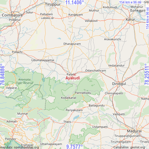
Ayakudi GPS coordinates[2]
10° 26' 59.712" North, 77° 33' 7.128" East
| Map corner | latitude | longitude |
|---|---|---|
| Upper-left | 11.1406°, | 76.84886° |
| Center: | 10.44992°, | 77.55198° |
| Lower-right: | 9.7577°, | 78.25511° |
| Map W x H: | 153.8×153.8 km | = 95.6×95.6mi |
| max Lat: | 34.9274° ⇑95.2% North |
| Ayakudi: | 10.44992° |
| min Lat: | ⇓4.8% South 8.09008° |
| min Long | Ayakudi | max Long |
| 68.82655° | 77.55198° | 96.81° |
| W 43.4%⇐ | ⇒56.6% E |
Elevation
Elevation of Ayakudi is 336 m = 1102 ft, and this is 40.4 m = 133 ft above average elevation for this country.
| Max E: |
3681 m = 12077 ft | 29.1% |
| Ayakudi | 336 m 1102 ft | |
| Avg. | 295.6 m = 970 ft | |
Min E: |
1 m = 3 ft | 70.9% |
See also: India elevation on elevation.city.
Geographical zone
Ayakudi is located in North Torrid zone (between Equator and Tropic of Cancer). Distance of Equator is 1161.9 km =722 mi to South.| Distance of | km | miles | from Ayakudi |
|---|---|---|---|
| North Pole | 8845.1 | 5496.1 | to North |
| Arctic Circle | 6239.3 | 3876.9 | to North |
| Tropic Cancer | 1444 | 897.3 | to North |
| Equator | 1161.9 | 722 | to South |


Nearby cities:
15 places around Ayakudi: (largest is in red/bold)
• Devadānappatti
35.2 km =21.9 mi,  163°
163°
• Dhali
40.4 km =25.1 mi,  279°
279°
• Dharapuram
32.1 km =19.9 mi,  356°
356°
• Kodaikānāl
24.4 km =15.2 mi,  196°
196°
• Kumaralingam
22.5 km =14 mi, 281°
• Kīranūr
16.9 km =10.5 mi,  341°
341°
• Mūlanūr
42.1 km =26.2 mi,  24°
24°
• Nilakottai
45.5 km =28.3 mi,  134°
134°
• Palani
3.4 km =2.1 mi,  270°
270°
• Pallappatti
46.8 km =29.1 mi,  49°
49°
• Periyakulam
36.4 km =22.6 mi,  181°
181°
• Periyapatti
46 km =28.6 mi,  318°
318°
• Udumalaippettai
36.6 km =22.7 mi,  294°
294°
• Vattalkundu
39.3 km =24.4 mi,  144°
144°
• Vedasandūr
44.5 km =27.7 mi,  78°
78°
Sources, notices
• [Note1] Compared only with cities in India existing in our database
• [Src1] Map data: © OpenStreetMap contributors (CC-BY-SA)
• [Src2] Other city data from geonames.org with taken over terms of usage.
• [Src3] Geographical zone / Annual Mean Temperature by Robert A. Rohde @ Wikipedia
