Periyapatti geodata
Periyapatti (Tamil Nadu) is a populated place; located in India in Asia/Kolkata (GMT+5.5) time zone. With population of 10,647 people, there are 2875 cities with bigger population in this country. Compared to other cities in India, 94.2% of cities are located further ↑North; 60.3% of cities are located further →East and 69% of cities have lower elevation than Periyapatti. Note1


Periyapatti GPS coordinates[2]
10° 45' 29.232" North, 77° 16' 15.132" East
| Map corner | latitude | longitude |
|---|---|---|
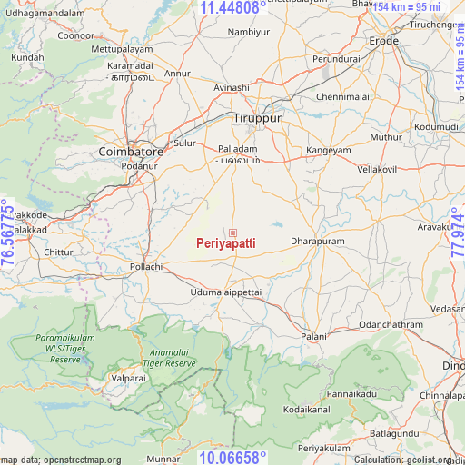
| Upper-left | 11.44808°, | 76.56775° |
| Center: | 10.75812°, | 77.27087° |
| Lower-right: | 10.06658°, | 77.974° |
| Map W x H: | 153.6×153.6 km | = 95.4×95.4mi |
| max Lat: | 34.9274° ⇑94.2% North |
| Periyapatti: | 10.75812° |
| min Lat: | ⇓5.8% South 8.09008° |
| min Long | Periyapatti | max Long |
| 68.82655° | 77.27087° | 96.81° |
| W 39.7%⇐ | ⇒60.3% E |
Elevation
Elevation of Periyapatti is 317 m = 1040 ft, and this is 21.4 m = 70 ft above average elevation for this country.
| Max E: |
3681 m = 12077 ft | 31% |
| Periyapatti | 317 m 1040 ft | |
| Avg. | 295.6 m = 970 ft | |
Min E: |
1 m = 3 ft | 69% |
See also: India elevation on elevation.city.
Geographical zone
Periyapatti is located in North Torrid zone (between Equator and Tropic of Cancer). Distance of Equator is 1196.2 km =743.3 mi to South.| Distance of | km | miles | from Periyapatti |
|---|---|---|---|
| North Pole | 8810.9 | 5474.8 | to North |
| Arctic Circle | 6205 | 3855.6 | to North |
| Tropic Cancer | 1409.7 | 875.9 | to North |
| Equator | 1196.2 | 743.3 | to South |


Nearby cities:
15 places around Periyapatti: (largest is in red/bold)
• Anamalais
41.6 km =25.8 mi,  242°
242°
• Chettipālaiyam
30.8 km =19.1 mi,  303°
303°
• Dhali
29 km =18 mi,  198°
198°
• Dharapuram
28.6 km =17.8 mi,  94°
94°
• Irugūr
36.7 km =22.8 mi,  321°
321°
• Kumaralingam
31.1 km =19.3 mi,  163°
163°
• Kīranūr
31.3 km =19.4 mi,  125°
125°
• Madukkarai
37.4 km =23.2 mi, 296°
• Palladam
26 km =16.2 mi,  3°
3°
• Periyanegamam
18.4 km =11.4 mi,  264°
264°
• Pollachi
30.7 km =19.1 mi,  248°
248°
• Singānallūr
37.4 km =23.2 mi, 315°
• Sulur
33.6 km =20.9 mi,  331°
331°
• Tiruppur
40.8 km =25.4 mi,  12°
12°
• Udumalaippettai
19.1 km =11.9 mi,  187°
187°
Sources, notices
• [Note1] Compared only with cities in India existing in our database
• [Src1] Map data: © OpenStreetMap contributors (CC-BY-SA)
• [Src2] Other city data from geonames.org with taken over terms of usage.
• [Src3] Geographical zone / Annual Mean Temperature by Robert A. Rohde @ Wikipedia
