Ula geodata
Ula (West Bengal) is a populated place; located in India in Asia/Kolkata (GMT+5.5) time zone. With population of 6,324 people, there are 3264 cities with bigger population in this country. Compared to other cities in India, 50.7% of cities are located further ↑North; 94.4% of cities are located further ←West and 99.4% of cities have higher elevation than Ula. Note1


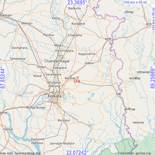
Ula GPS coordinates[2]
22° 43' 21" North, 88° 33' 20.016" East
| Map corner | latitude | longitude |
|---|---|---|
| Upper-left | 23.3695°, | 87.85244° |
| Center: | 22.7225°, | 88.55556° |
| Lower-right: | 22.07242°, | 89.25869° |
| Map W x H: | 144.2×144.2 km | = 89.6×89.6mi |
| max Lat: | 34.9274° ⇑50.7% North |
| Ula: | 22.7225° |
| min Lat: | ⇓49.3% South 8.09008° |
| min Long | Ula | max Long |
| 68.82655° | 88.55556° | 96.81° |
| W 94.4%⇐ | ⇒5.6% E |
Elevation
Elevation of Ula is 6 m = 20 ft, and this is 289.6 m = 950 ft below average elevation for this country.
| Max E: |
3681 m = 12077 ft | 99.4% |
| Avg. | 295.6 m = 970 ft | |
| Ula | 6 m = 20 ft | |
Min E: |
1 m = 3 ft | 0.6% |
See also: India elevation on elevation.city.
Geographical zone
Ula is located in North Torrid zone (between Equator and Tropic of Cancer). Distance of this Northern Tropic circle is 79.4 km =49.3 mi to North.| Distance of | km | miles | from Ula |
|---|---|---|---|
| North Pole | 7480.6 | 4648.2 | to North |
| Arctic Circle | 4874.7 | 3029 | to North |
| Tropic Cancer | 79.4 | 49.3 | to North |
| Equator | 2526.5 | 1569.9 | to South |


Nearby cities:
15 places around Ula: (largest is in red/bold)
• Ashoknagar Kalyangarh
17.8 km =11.1 mi,  27°
27°
• Baranagar
20.4 km =12.7 mi,  243°
243°
• Bārākpur
20.3 km =12.6 mi,  283°
283°
• Bārāsat
7.5 km =4.7 mi,  269°
269°
• Dam Dam
16.8 km =10.4 mi,  233°
233°
• Garui
18.8 km =11.7 mi, 238°
• Gurdaha
21 km =13 mi,  86°
86°
• Hābra
16.8 km =10.4 mi,  37°
37°
• Khardah
18.2 km =11.3 mi, 268°
• Kāmārhāti
19.4 km =12.1 mi,  252°
252°
• Madhyamgram
11.8 km =7.3 mi, 251°
• Pānihāti
18.9 km =11.7 mi,  259°
259°
• Sankarpur
17.6 km =10.9 mi,  322°
322°
• Sodpur
16.9 km =10.5 mi, 263°
• Titāgarh
18.8 km =11.7 mi, 276°
Sources, notices
• [Note1] Compared only with cities in India existing in our database
• [Src1] Map data: © OpenStreetMap contributors (CC-BY-SA)
• [Src2] Other city data from geonames.org with taken over terms of usage.
• [Src3] Geographical zone / Annual Mean Temperature by Robert A. Rohde @ Wikipedia
