Ardestān geodata
Ardestān (Isfahan) is a seat of a second-order administrative division; located in Iran in Asia/Tehran (GMT+3.5) time zone. With population of 16,058 people, there are 201 cities with bigger population in this country. Compared to other cities in Iran, 59.6% of cities are located further ↑North; 61% of cities are located further ←West and 53.3% of cities have lower elevation than Ardestān. Note1


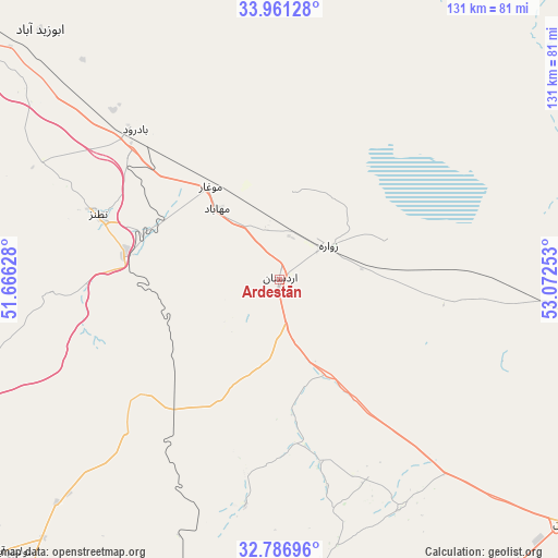
Ardestān GPS coordinates[2]
33° 22' 33.96" North, 52° 22' 9.84" East
| Map corner | latitude | longitude |
|---|---|---|
| Upper-left | 33.96128°, | 51.66628° |
| Center: | 33.3761°, | 52.3694° |
| Lower-right: | 32.78696°, | 53.07253° |
| Map W x H: | 130.6×130.6 km | = 81.2×81.2mi |
| max Lat: | 39.6482° ⇑59.6% North |
| Ardestān: | 33.3761° |
| min Lat: | ⇓40.4% South 25.2919° |
| min Long | Ardestān | max Long |
| 44.38416° | 52.3694° | 61.9965° |
| W 61%⇐ | ⇒39% E |
Elevation
Elevation of Ardestān is 1215 m = 3986 ft, and this is 166 m = 545 ft above average elevation for this country.
| Max E: |
2564 m = 8412 ft | 46.7% |
| Ardestān | 1215 m 3986 ft | |
| Avg. | 1049 m = 3442 ft | |
Min E: |
-24 m = -79 ft | 53.3% |
See also: Iran elevation on elevation.city.
Geographical zone
Ardestān is located in North temperate zone (between Tropic of Cancer and the Arctic Circle). Distance of this Northern Tropic circle is 1105.2 km =686.7 mi to South.| Distance of | km | miles | from Ardestān |
|---|---|---|---|
| North Pole | 6296 | 3912.2 | to North |
| Arctic Circle | 3690.1 | 2292.9 | to North |
| Tropic Cancer | 1105.2 | 686.7 | to South |
| Equator | 3711.1 | 2306 | to South |


Nearby cities:
15 places around Ardestān: (largest is in red/bold)
• Abrīsham
117.6 km =73.1 mi,  219°
219°
• Dorcheh Pīāz
113.6 km =70.6 mi, 221°
• Dowlatābād
89.7 km =55.7 mi, 224°
• Falāvarjān
121.5 km =75.5 mi, 221°
• Isfahan
103.3 km =64.2 mi, 218°
• Kelīshād va Sūdarjān
120.7 km =75 mi, 220°
• Khomeynī Shahr
109.2 km =67.9 mi,  225°
225°
• Kāshān
110.2 km =68.5 mi,  308°
308°
• Najafābād
124.7 km =77.5 mi, 228°
• Naţanz
44.5 km =27.7 mi,  289°
289°
• Nā’īn
88.1 km =54.7 mi,  130°
130°
• Qahderījān
123.2 km =76.6 mi, 223°
• Rehnān
105.2 km =65.4 mi, 222°
• Shāhīn Shahr
95.4 km =59.3 mi, 232°
• Ārān Bīdgol
111.6 km =69.3 mi, 312°
Sources, notices
• [Note1] Compared only with cities in Iran existing in our database
• [Src1] Map data: © OpenStreetMap contributors (CC-BY-SA)
• [Src2] Other city data from geonames.org with taken over terms of usage.
• [Src3] Geographical zone / Annual Mean Temperature by Robert A. Rohde @ Wikipedia
