Pabillonis geodata
Pabillonis (Sardinia) is a seat of a third-order administrative division; located in Italy in Europe/Rome (GMT+2) time zone. With population of 2,806 people, there are 3211 cities with bigger population in this country. Compared to other cities in Italy, 89.9% of cities are located further ↑North; 85.2% of cities are located further →East and 80.9% of cities have higher elevation than Pabillonis. Note1
Administrative division(s):
- Level 1: Sardinia
- Level 2: Provincia del Sud Sardegna
- Level 3: Pabillonis


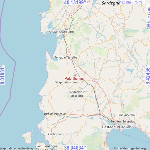
Pabillonis GPS coordinates[2]
39° 35' 32.208" North, 8° 43' 17.148" East
| Map corner | latitude | longitude |
|---|---|---|
| Upper-left | 40.13199°, | 8.01831° |
| Center: | 39.59228°, | 8.72143° |
| Lower-right: | 39.04834°, | 9.42456° |
| Map W x H: | 120.5×120.5 km | = 74.9×74.9mi |
| max Lat: | 47.04031° ⇑89.9% North |
| Pabillonis: | 39.59228° |
| min Lat: | ⇓10.1% South 35.50142° |
| min Long | Pabillonis | max Long |
| 6.69888° | 8.72143° | 18.48682° |
| W 14.8%⇐ | ⇒85.2% E |
Elevation
Elevation of Pabillonis is 46 m = 151 ft, and this is 260.7 m = 855 ft below average elevation for this country.
| Max E: |
2085 m = 6841 ft | 80.9% |
| Avg. | 306.7 m = 1006 ft | |
| Pabillonis | 46 m = 151 ft | |
Min E: |
-4 m = -13 ft | 19.1% |
See also: Italy elevation on elevation.city.
Geographical zone
Pabillonis is located in North temperate zone (between Tropic of Cancer and the Arctic Circle). Distance of this Northern Tropic circle is 1796.3 km =1116.2 mi to South.| Distance of | km | miles | from Pabillonis |
|---|---|---|---|
| North Pole | 5604.8 | 3482.7 | to North |
| Arctic Circle | 2998.9 | 1863.4 | to North |
| Tropic Cancer | 1796.3 | 1116.2 | to South |
| Equator | 4402.2 | 2735.4 | to South |


Nearby cities:
15 places around Pabillonis: (largest is in red/bold)
• Arbus
12.8 km =8 mi,  234°
234°
• Collinas
11.5 km =7.1 mi,  62°
62°
• Gonnoscodina
15.4 km =9.6 mi,  39°
39°
• Gonnosfanadiga
12 km =7.5 mi,  205°
205°
• Gonnostramatza
13.9 km =8.6 mi, 43°
• Guspini
9.4 km =5.8 mi, 231°
• Masullas
13.2 km =8.2 mi,  23°
23°
• Mogoro
11.3 km =7 mi, 24°
• San Gavino Monreale
7.6 km =4.7 mi,  128°
128°
• San Nicolò d'Arcidano
12.2 km =7.6 mi,  326°
326°
• Sardara
8.9 km =5.5 mi,  73°
73°
• Siris
14.1 km =8.8 mi, 18°
• Uras
11.9 km =7.4 mi,  351°
351°
• Villacidro
15.1 km =9.4 mi,  173°
173°
• Villanovaforru
13.5 km =8.4 mi, 70°
Sources, notices
• [Note1] Compared only with cities in Italy existing in our database
• [Src1] Map data: © OpenStreetMap contributors (CC-BY-SA)
• [Src2] Other city data from geonames.org with taken over terms of usage.
• [Src3] Geographical zone / Annual Mean Temperature by Robert A. Rohde @ Wikipedia
